
The Flatirons Loop, also known as the Bluebell, Royal Arch, Flatiron, Bluebell-Baird and Meadow Trail Loop, is a short and scenic hike in the town of Boulder, CO. The hike is just 2.4 miles in total with an elevation gain of around 730′. This short and sweet hike offers beautiful views of the First and Second Flatiron, as well as the town of Boulder and the surrounding mountains. This hike is fairly moderate making it a great choice for visitors of all experience levels.

The hike begins at the parking lot for the Chautauqua Ranger Cottage. We opted to do the hike counter-clockwise which I believe is the most common route. The trail begins with a moderate incline along a wide gravel path as you make your way up to the Flatirons. Meadows surrounding the trail are home to beautiful flowers and cacti, and you’ll likely spot some deer along the way.


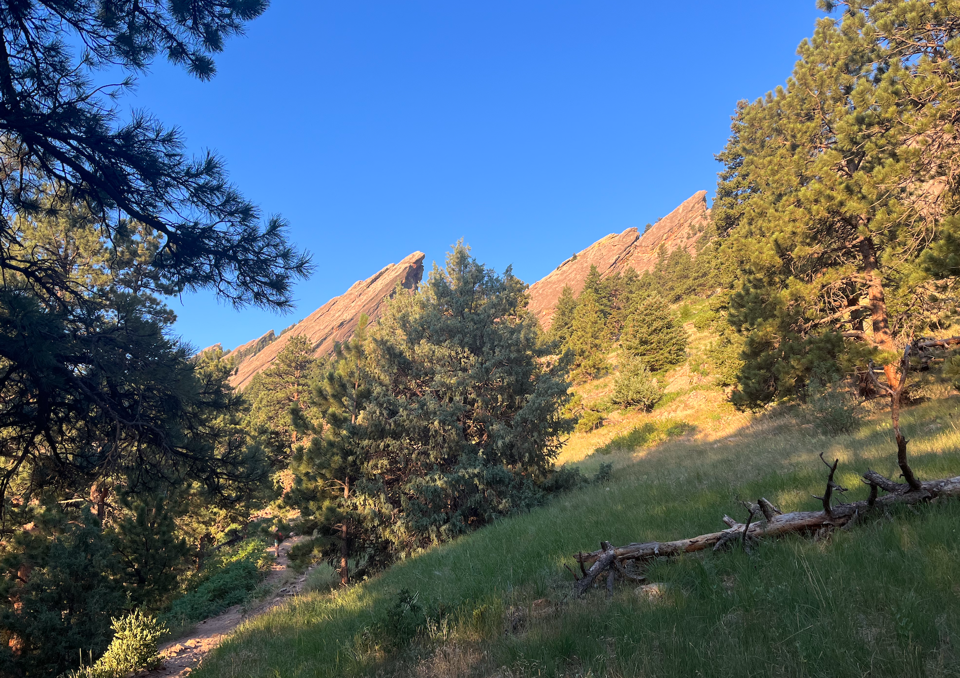
As you enter the treeline, the path gets a bit rockier and narrower until you pass a marked detour to Royal Arch and reach the First and Second Flatiron at about 0.8 miles. We watched a few hikers beginnning their ascent of the Second Flatiron which was really cool to see. The highest point of the hike is about 1.15 miles in, where you’ll reach a spur that takes you to the Third Flatiron.

Continuing along the loop, you’ll begin to head downhill as you pass over a scree field. The trail is very well-marked as you descend into the meadows and eventually make your way back to the parking area.


This hike is very popular on weekends, so try to visit during the week and early in the morning or later in the evening when possible.

3 thoughts on “Flatirons Loop – Boulder, CO”