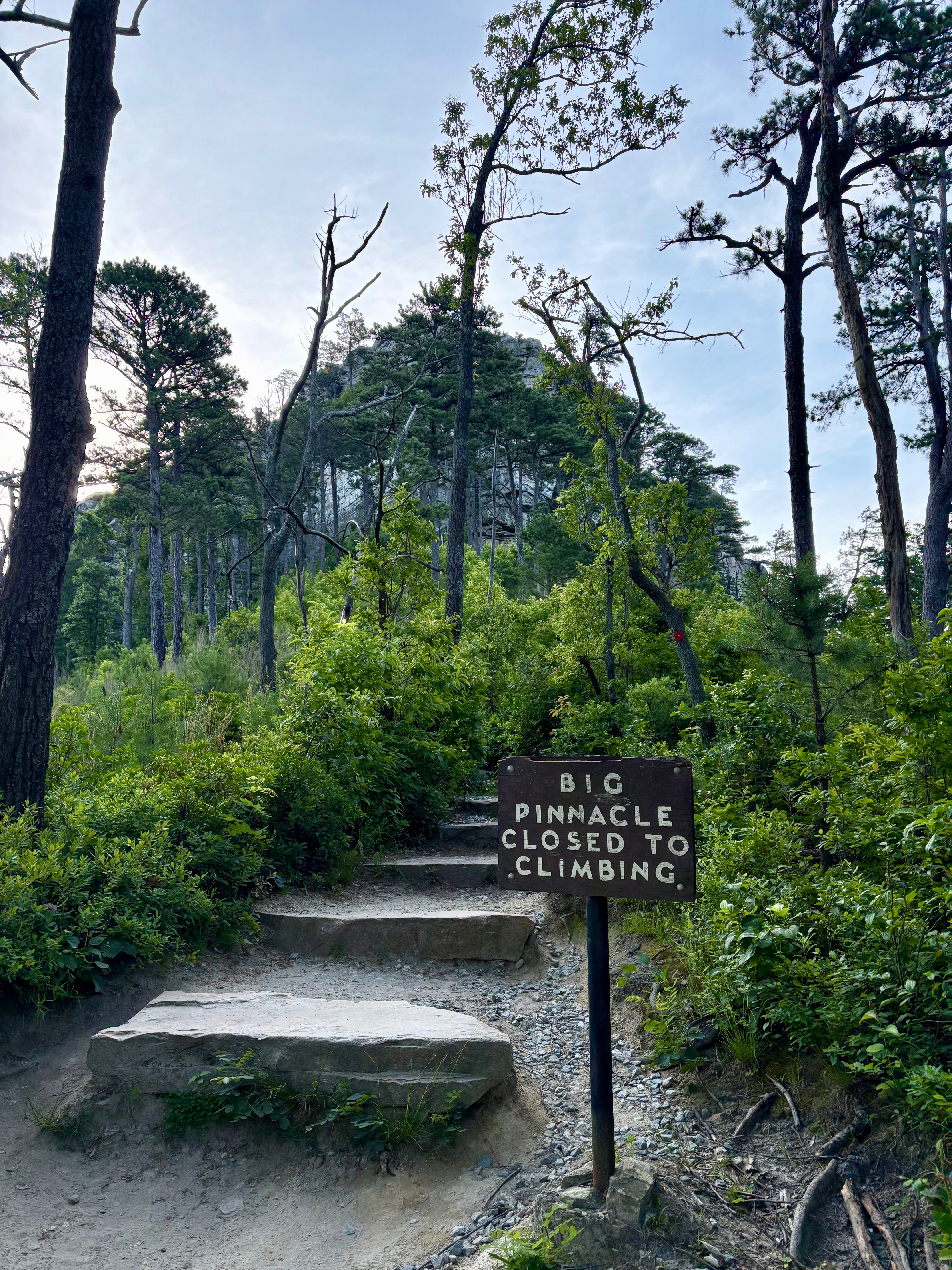
For my latest solo hiking adventure in North Carolina, I tackled the Grindstone, Ledge Spring, and Pilot Knob Trail Loop at Pilot Mountain. Located about 20 miles northwest of Winston-Salem, Pilot Mountain State Park is known for the Big Pinnacle, a striking geologic feature perched atop its peak. There are several trails throughout this section of the park that lead you around the mountain and its iconic pinnacles. I settled on an almost 3-mile-long loop that combines three trails: Grindstone, Ledge Spring, and Pilot Knob.
North Carolina Hiking Guide: Grindstone, Ledge Spring, and Pilot Knob Trail Loop at Pilot Mountain State Park
Begin your journey at the upper summit parking lot atop Pilot Mountain. During busy seasons like summer, this lot may fill up. If that’s the case, you can park at the lower visitor center and extend your hike by hopping on the Grindstone Trail, or take the $5 shuttle to the top of the mountain.
I recommend arriving early to score a parking spot at the upper lot, because there was plenty of availability when I arrived around 7:30am. Once parked, you can decide whether to start your hike clockwise (on the Pilot Knob Trail) or counter-clockwise (on the Grindstone Trail)—I opted for clockwise.
Pilot Knob Trail | 0.8 miles
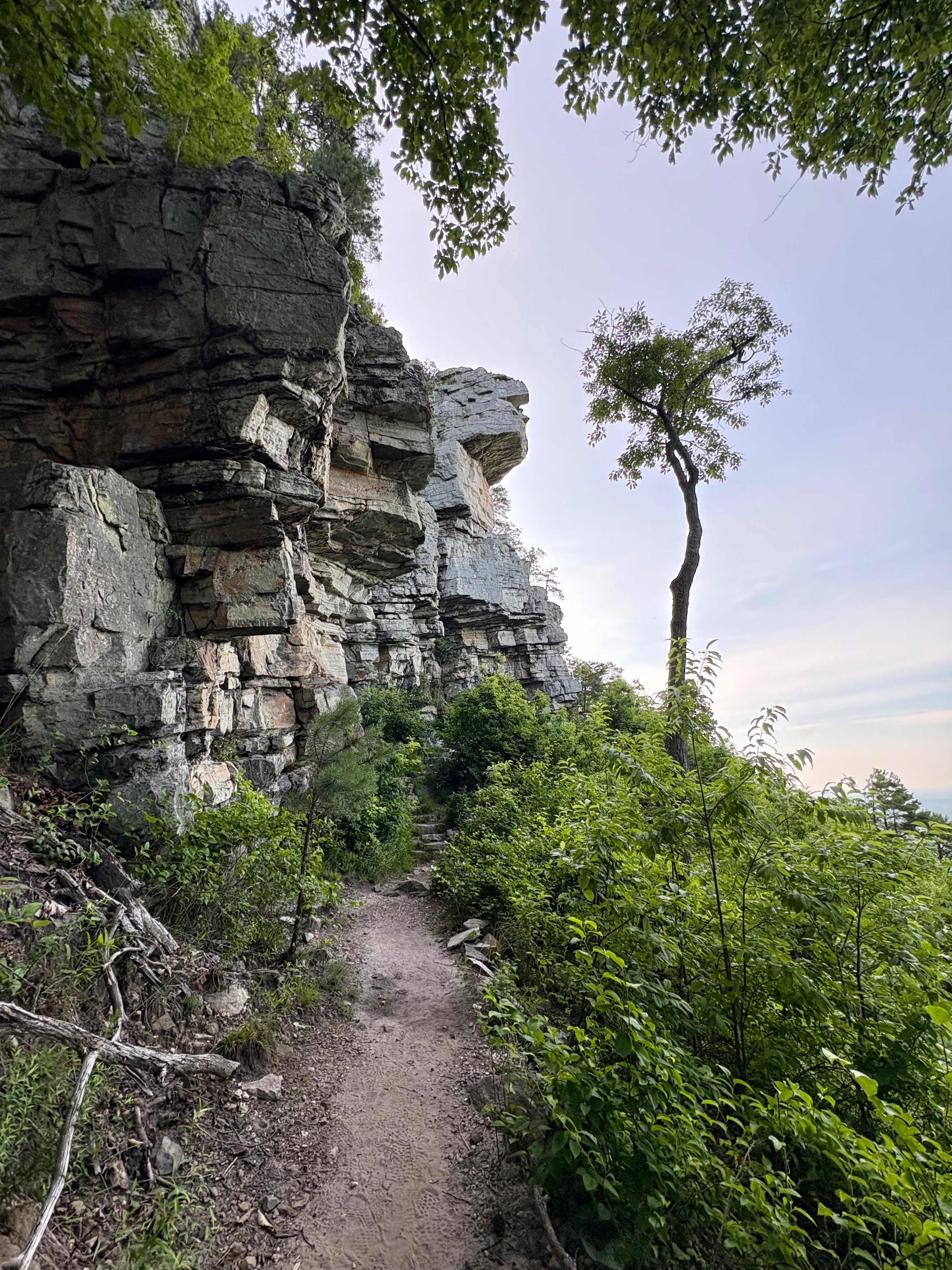
To start the hike from the summit parking lot, head toward the Little Pinnacle Overlook Trail and continue until you see signs for the Pilot Knob Trail, marked by red squares. Along the way, you’ll pass a detour for the Ledge Spring Trail (don’t worry, you’ll be back).
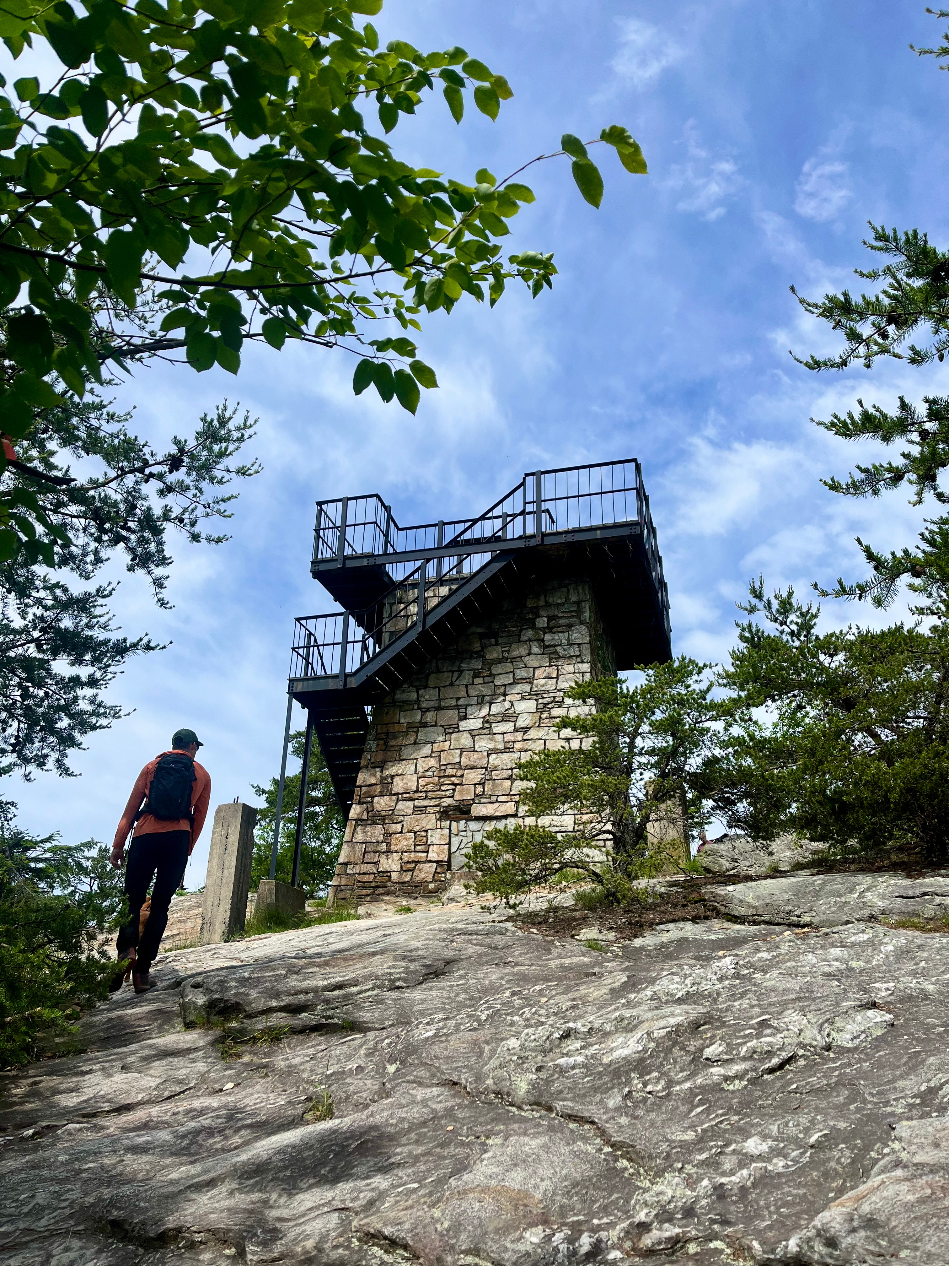
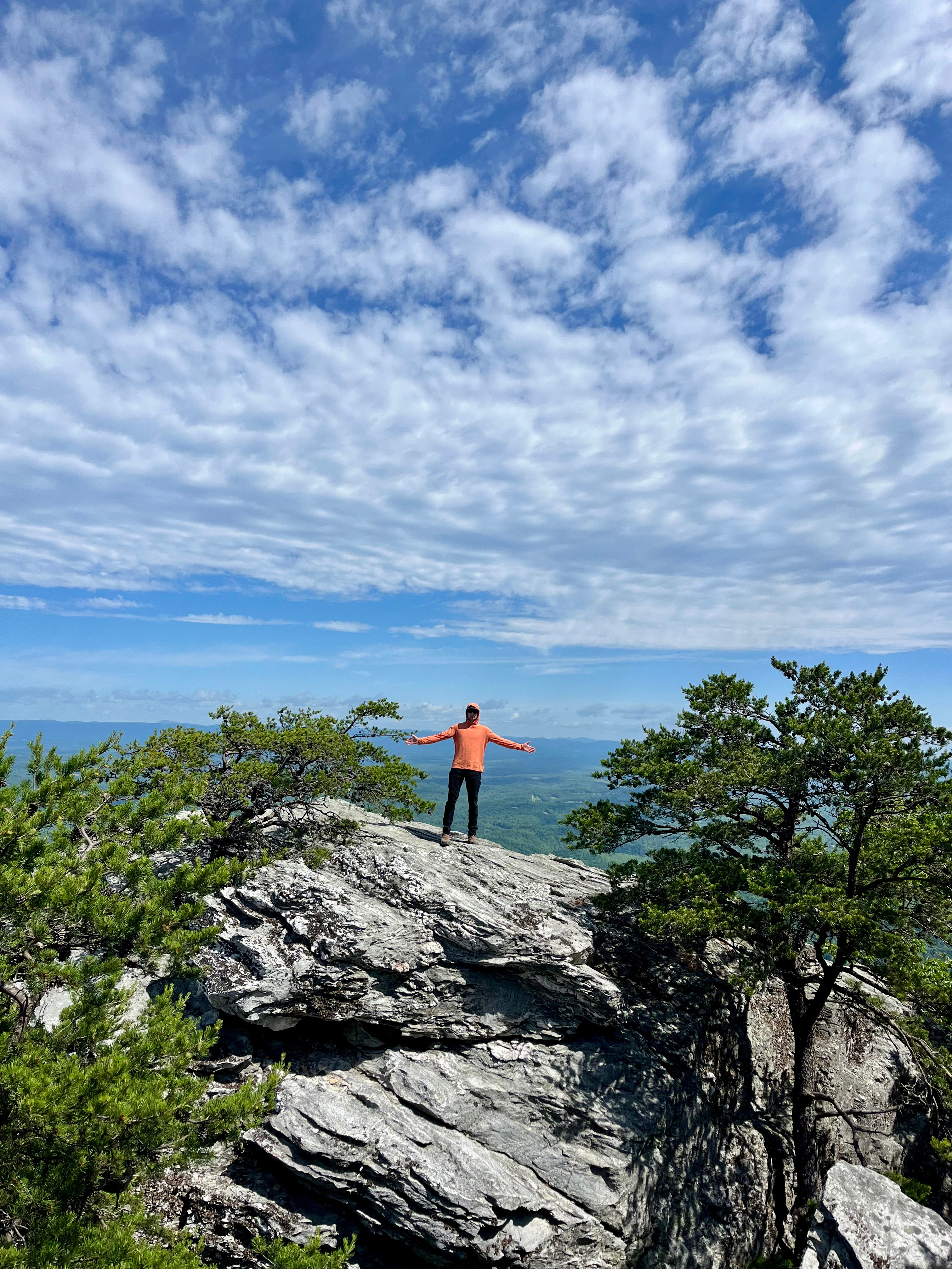
You’ll come to a fork where you can bear right or left to circle the Big Pinnacle—I stayed left to go clockwise. The hike steadily gains around 200′ of elevation, featuring many rocky steps that lead you to the base of Pilot Mountain’s Big Pinnacle. The steps were the hardest part of this trail, in my opinion, but they were still very doable.
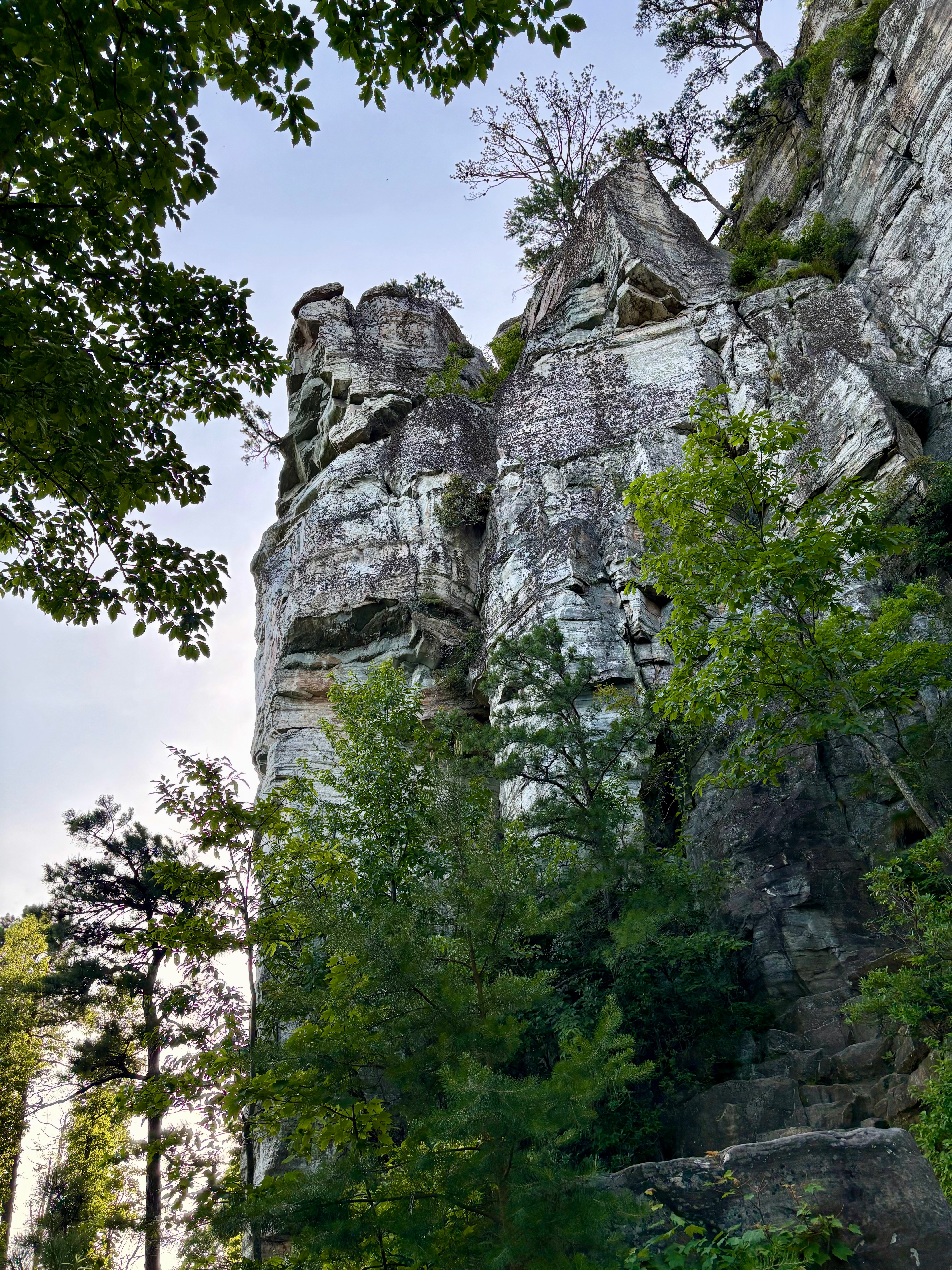
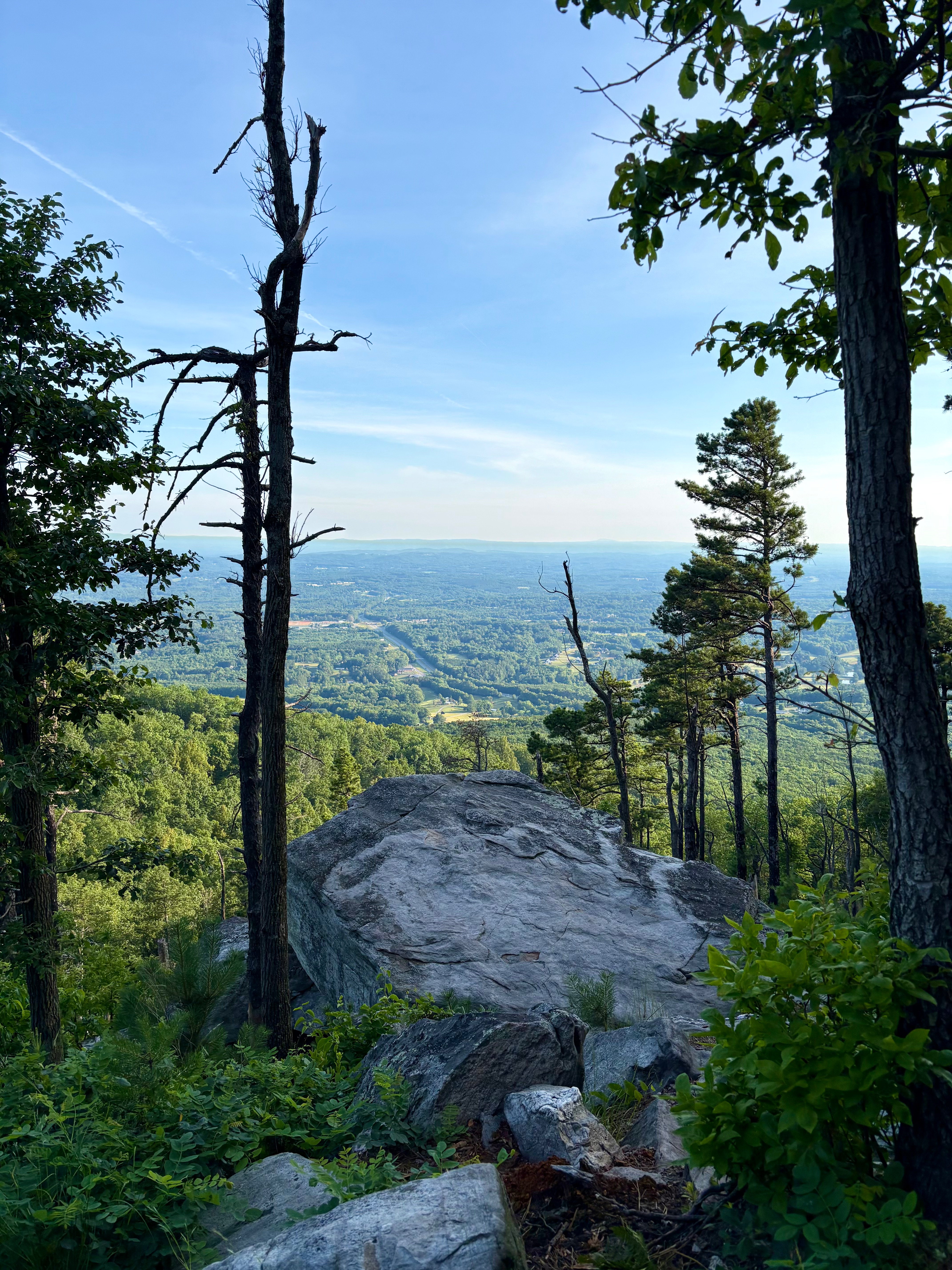
The views from this trail are exceptional, and the rock formations are incredibly unique and interesting. You’ll loop around the entirety of the Big Pinnacle before returning to the intersection of the Ledge Spring Trail.
Ledge Spring Trail | 1 mile
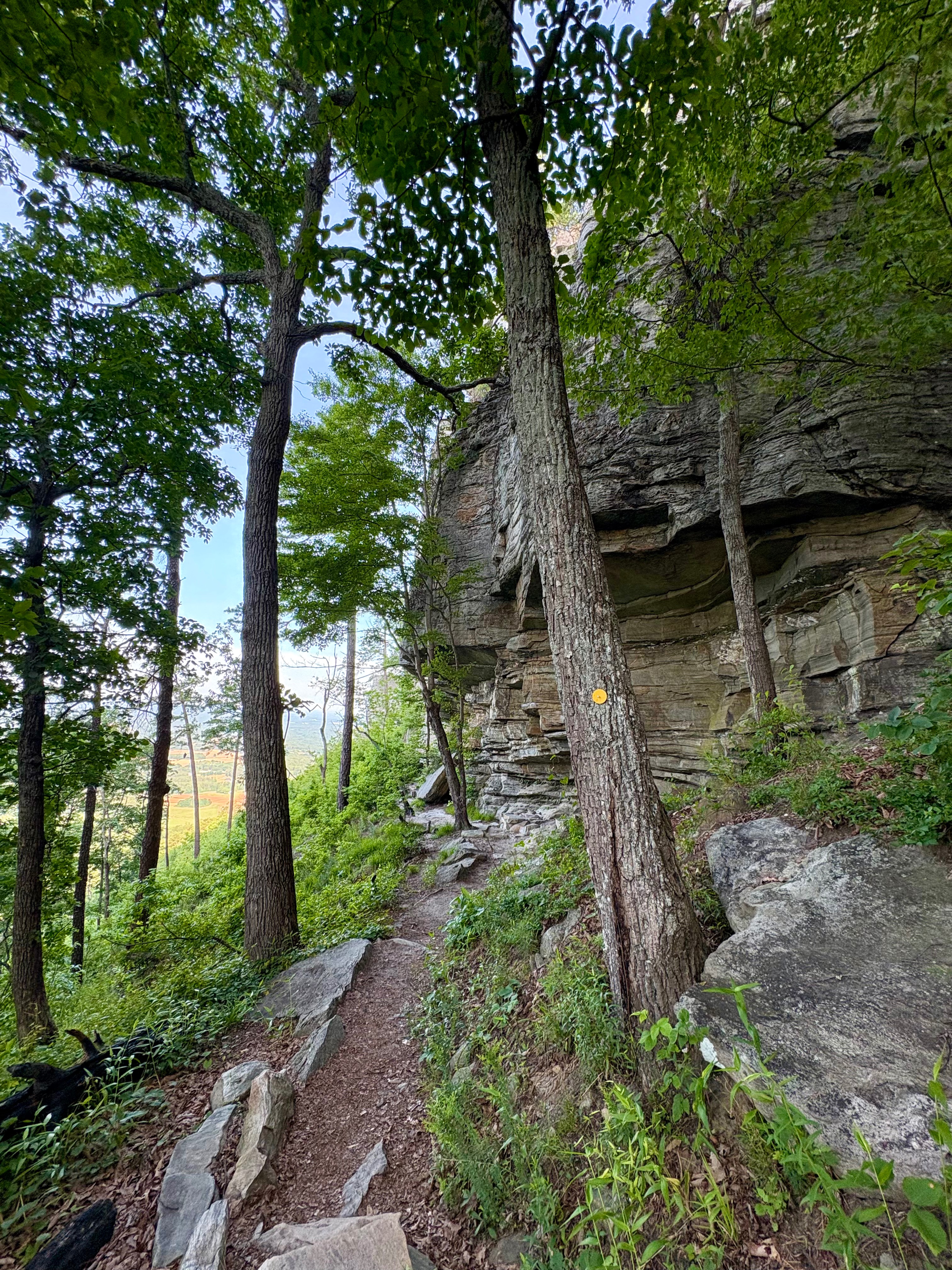
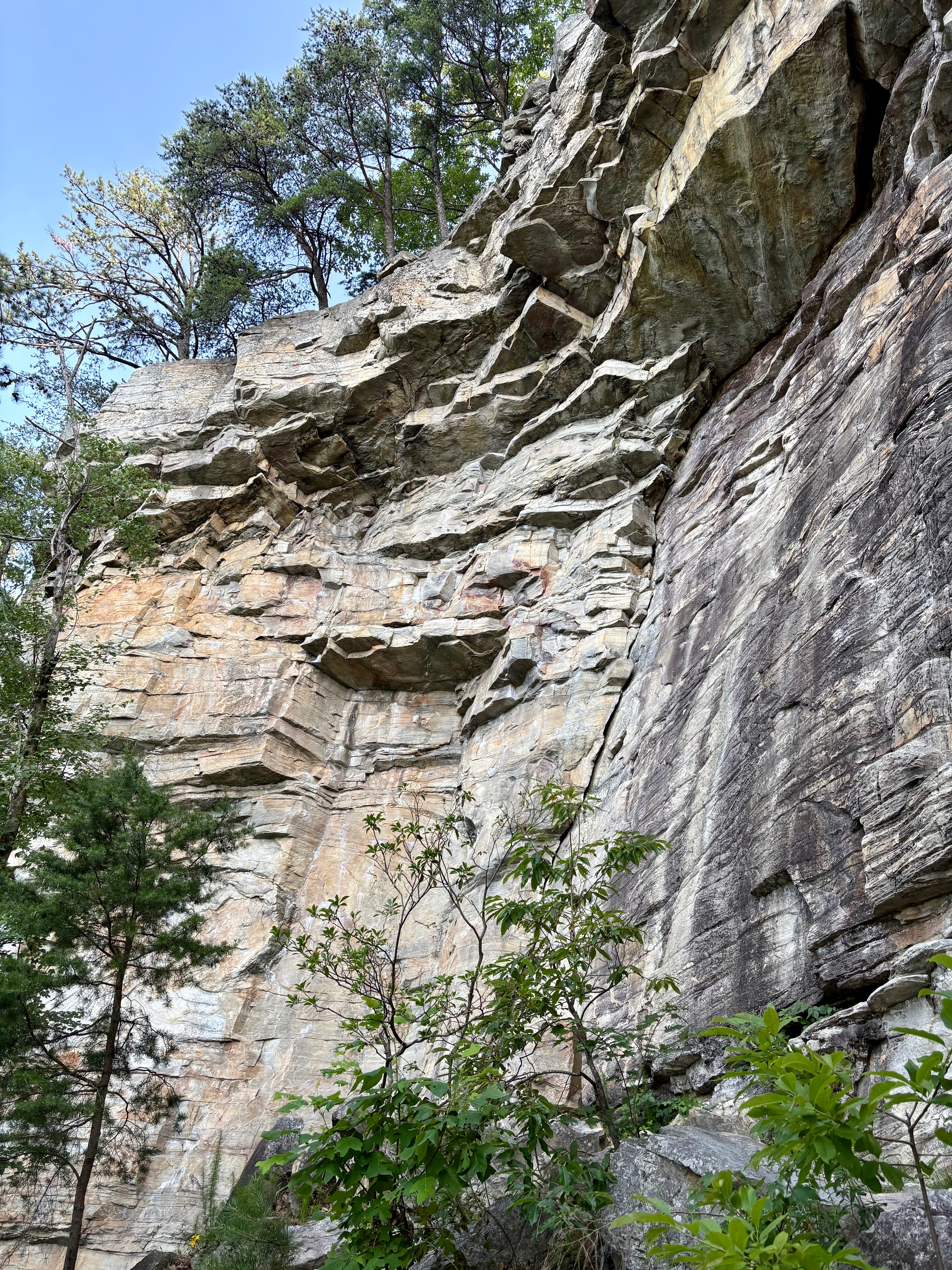
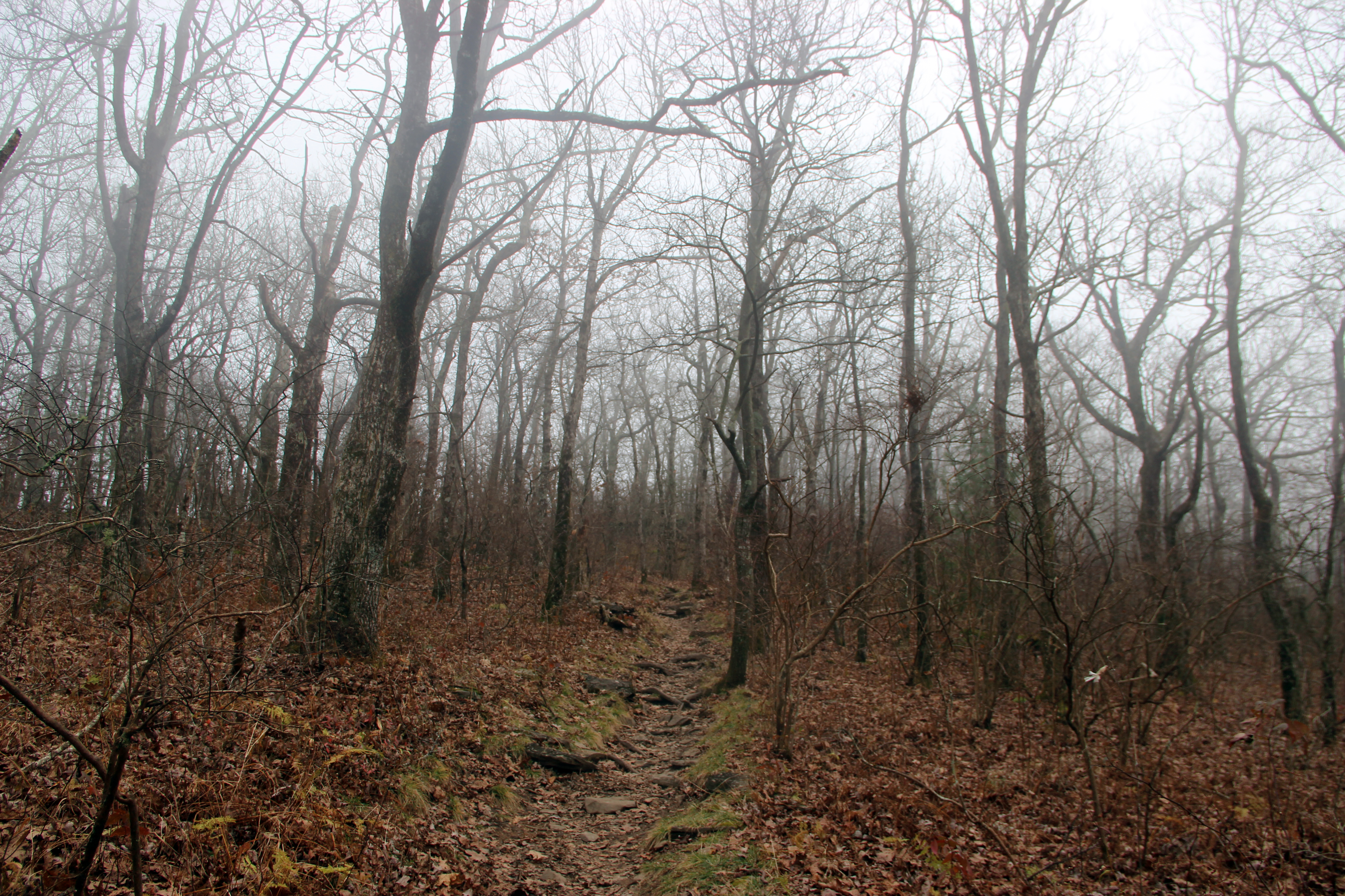
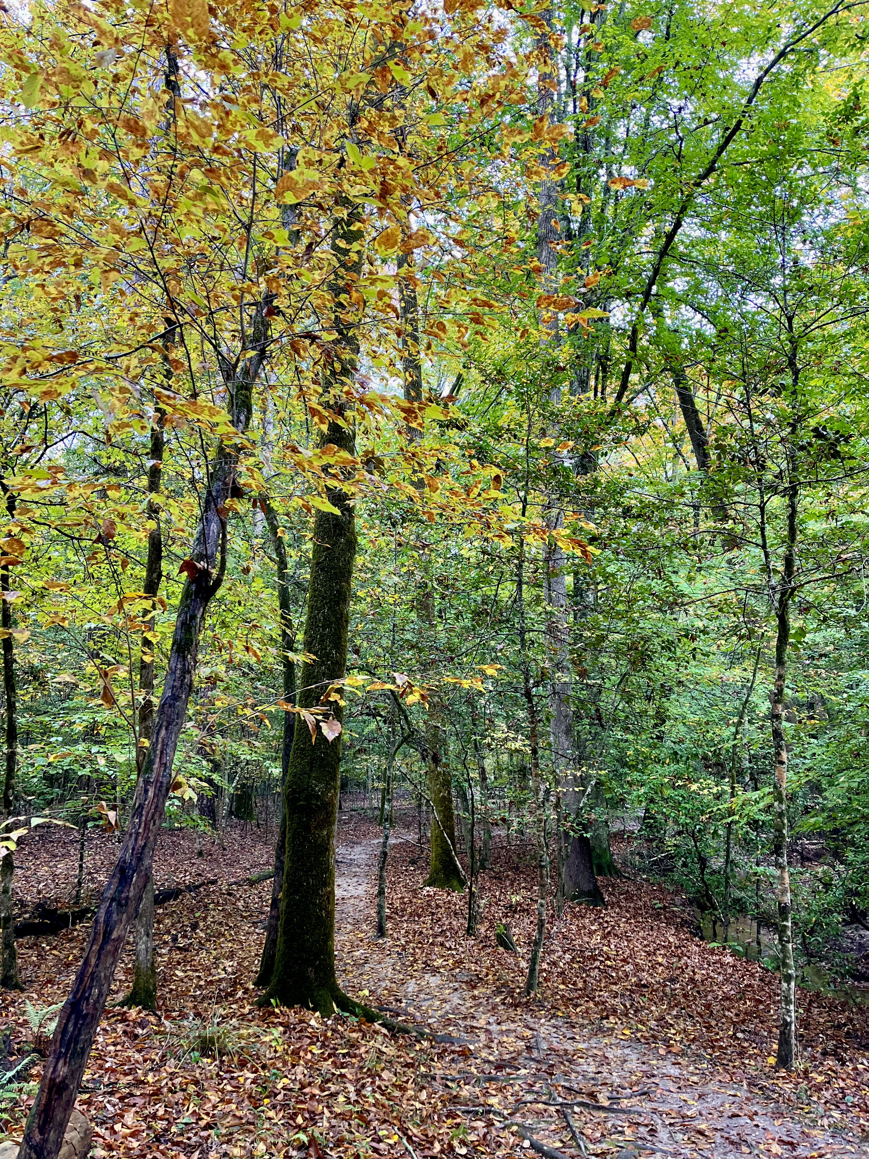
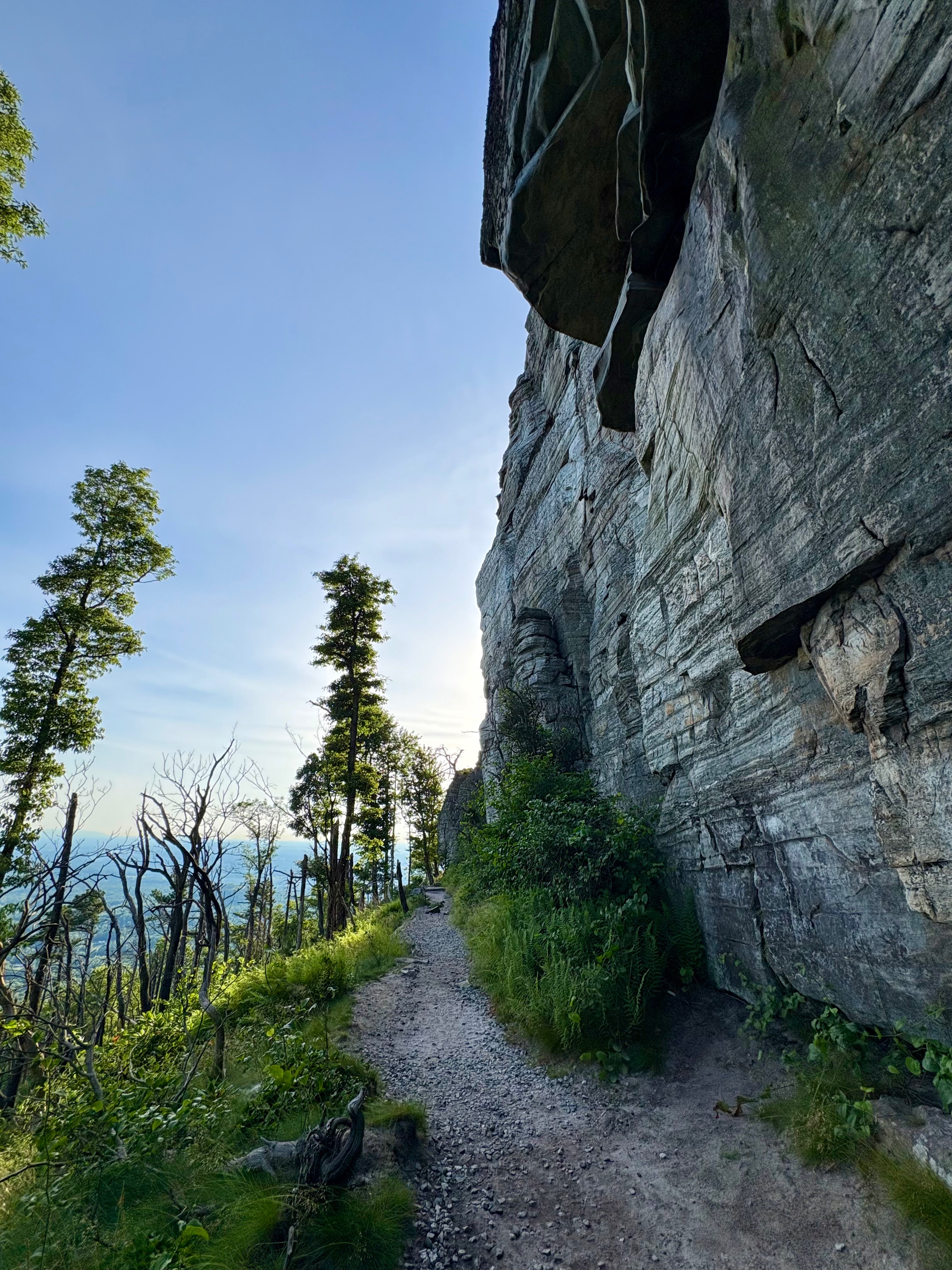
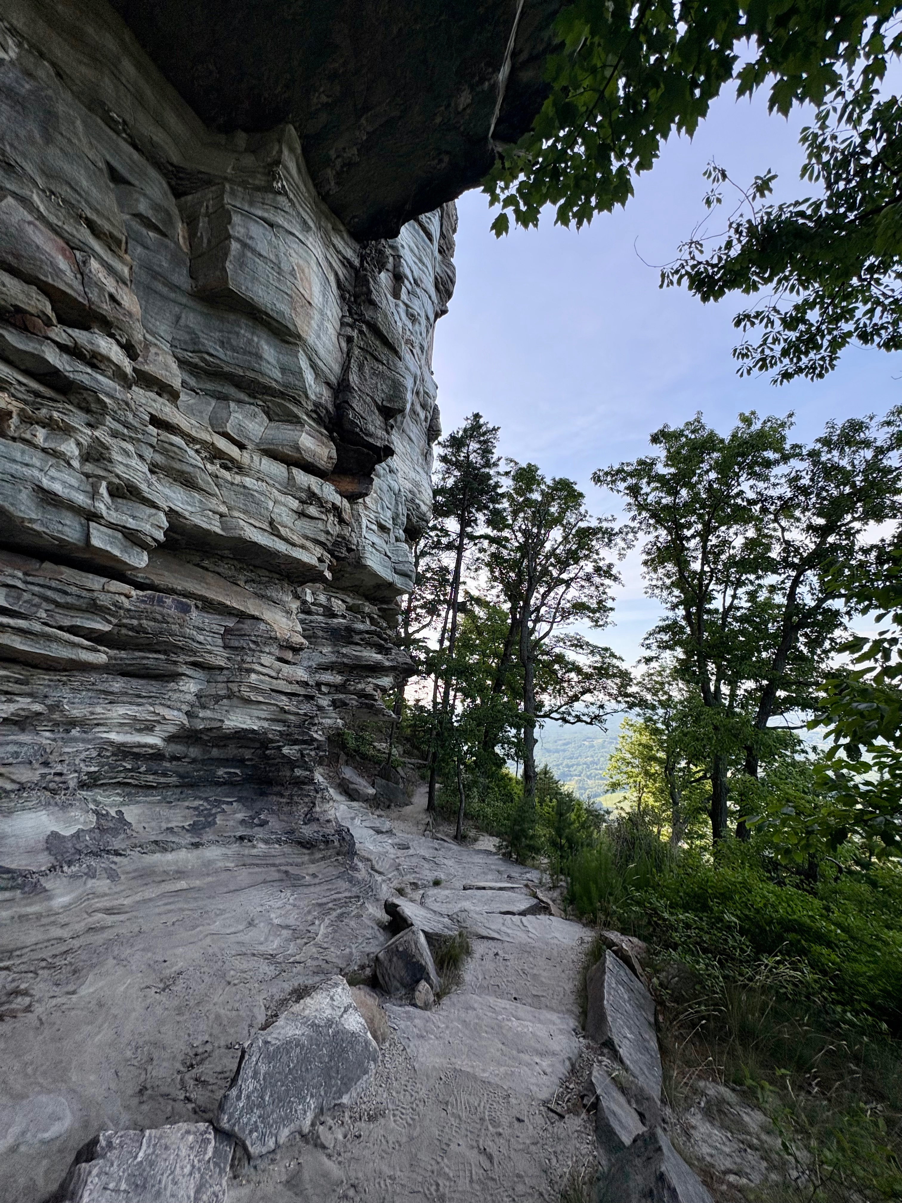
Begin following the yellow circles marking the roughly 1-mile-long Ledge Spring Trail. This path skirts around the southern edge of Pilot Mountain, leading you past some of the park’s signature rock-climbing areas. Tackling Ledge Spring Trail from Pilot Knob means you’ll be descending most of the time. I found it very easygoing, but be careful to watch your step as it’s quite rocky. There were a few climbers out the day I visited, and I’d love to return and try some routes myself!
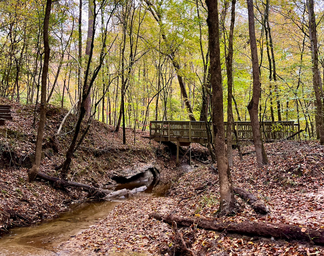
Grindstone Trail | 1-mile section
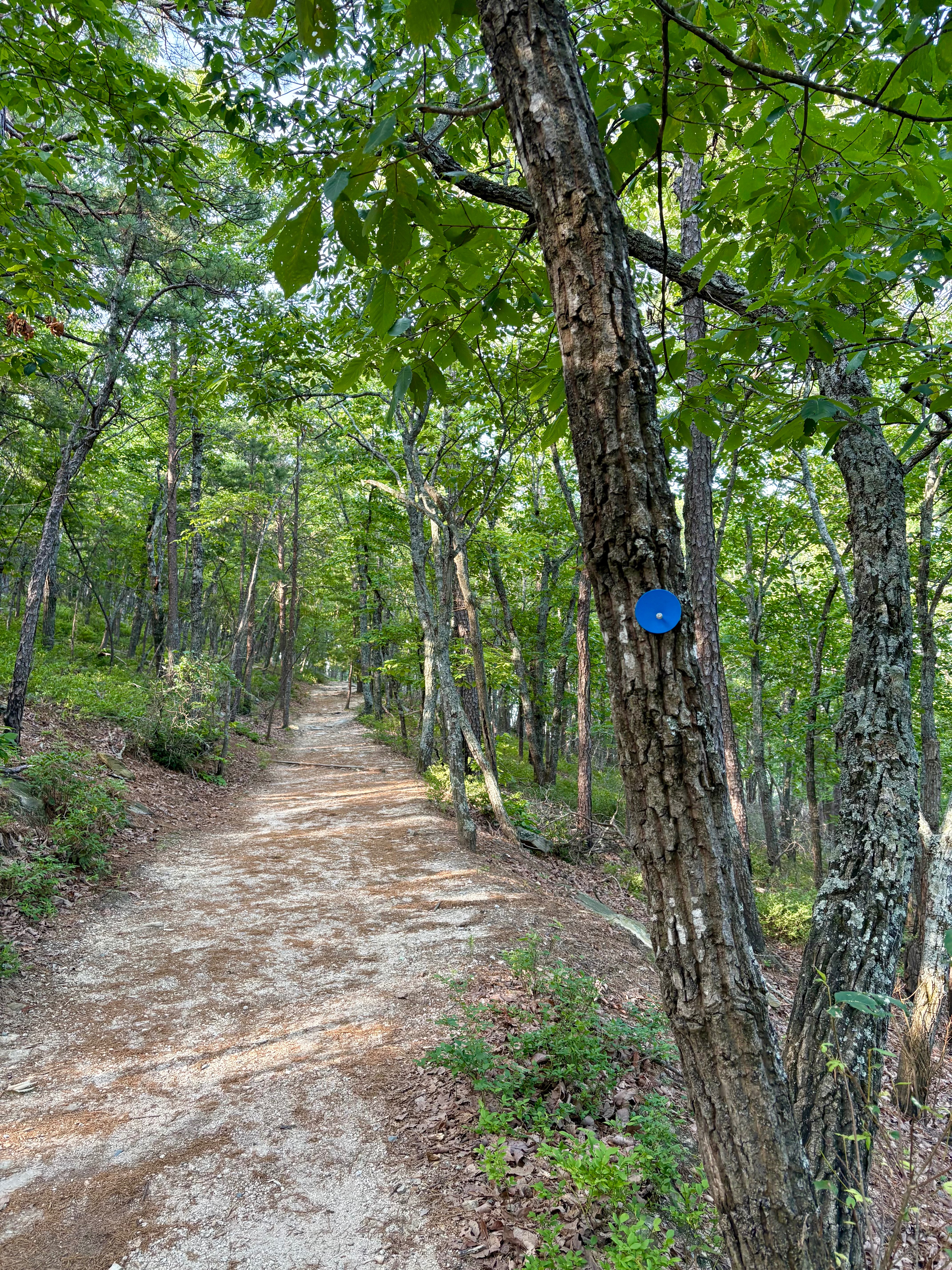
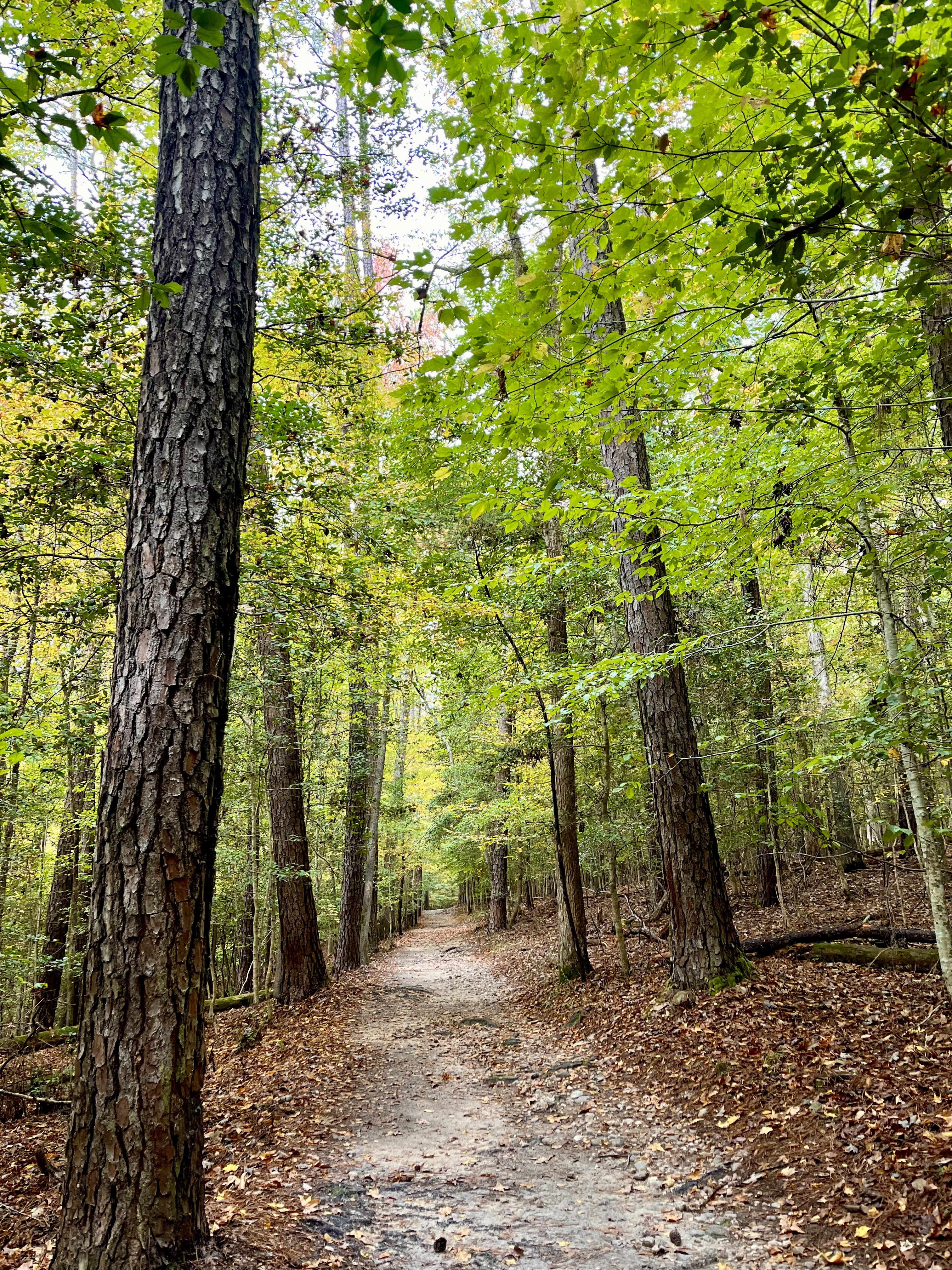
After about a mile, you’ll come to an intersection with the Grindstone Trail. Bear right to start heading toward the summit parking lot (going left will take you down to the lower visitor center). While the Grindstone Trail is 3.5 miles in total, you’ll only be on it for around a mile before ending up back at your car.
This part of the hike was pretty unremarkable, mostly weaving you through trees with a few rocky portions. You are gradually going uphill as you hike in this direction, but it isn’t too challenging. The parking lot was filling up, and it was getting hot and sunny when I arrived back at my car around 9:30am, so I’m glad I opted for an early start.
I had a lovely adventure hiking the Grindstone, Ledge Spring, and Pilot Knob Trails at Pilot Mountain, and I’ll definitely be back to explore more!
Check out my other North Carolina hiking guides:
Moore’s Wall Loop Trail in Hanging Rock State Park