I’m sharing the ultimate Colorado hiking guide to some of my favorite can’t-miss hikes in Colorado, ranging from easy to challenging. I recently relocated from Colorado after four wonderful years, and I was fortunate to tackle many unforgettable hikes during my time there. Colorado has trails for all ages, abilities, and experience levels, making it the ideal destination for outdoor lovers. Check out these essential Colorado hikes next time you’re in the Centennial State!
Easy
Paint Mines Trail
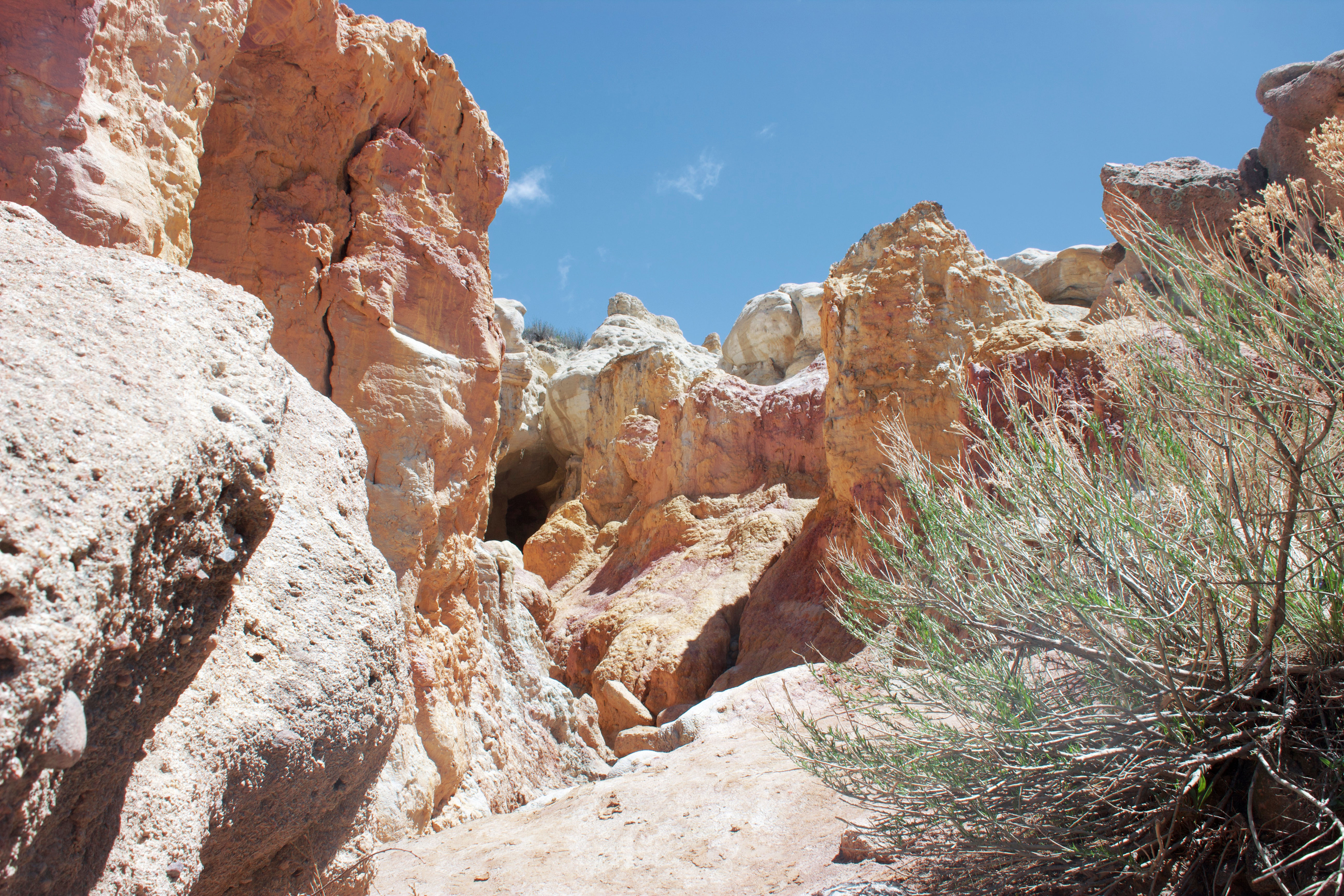
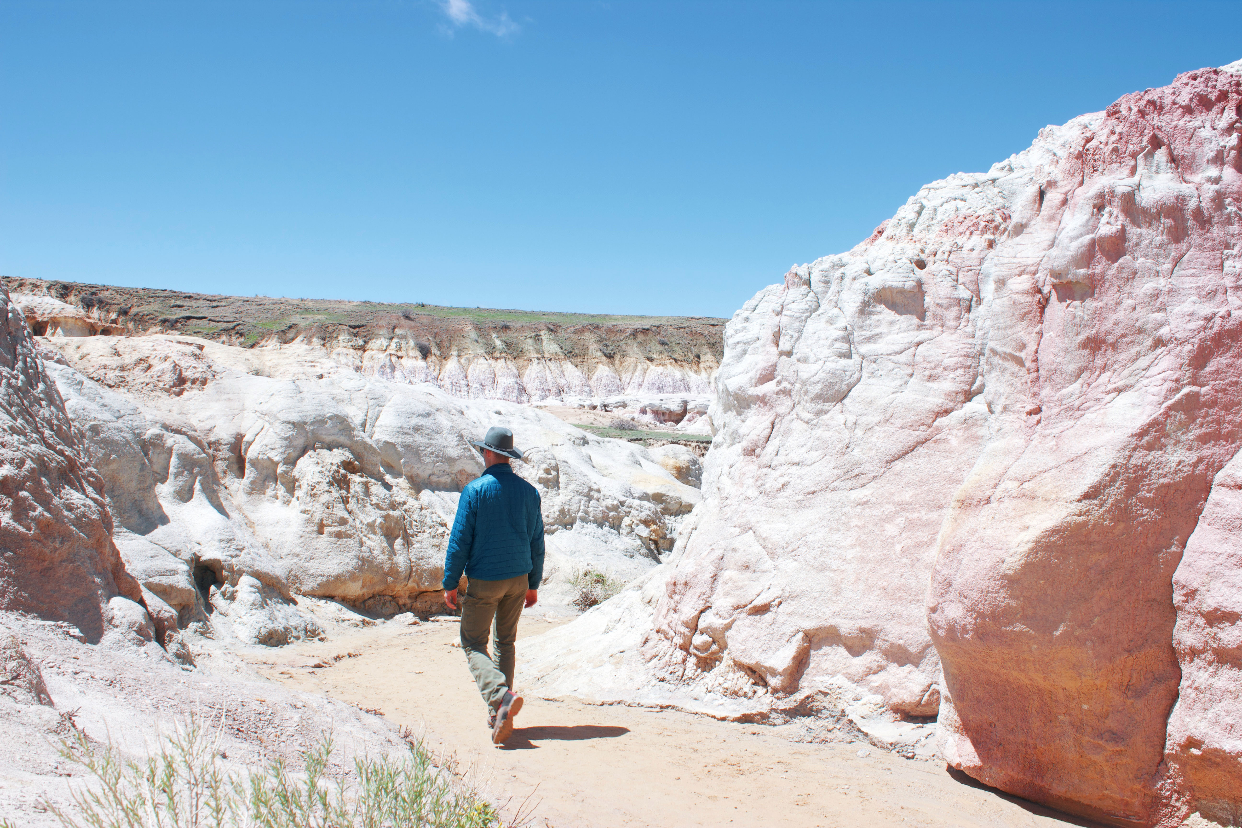
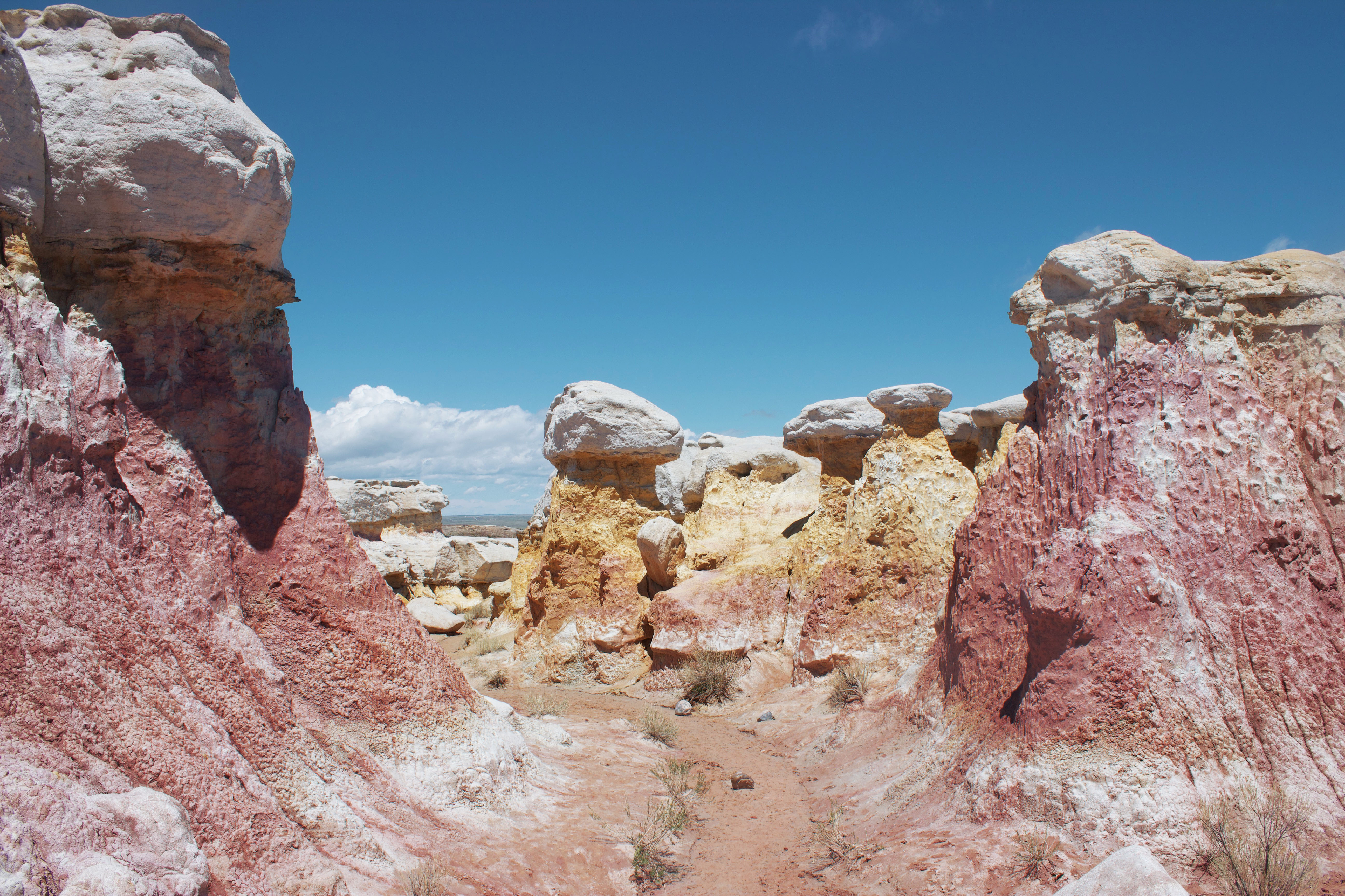
Paint Mines Interpretive Park is an underrated hiking area near Colorado Springs. It’s easy to see where the location got its name—the park is full of colorful clay deposits and rock formations. Wandering through the park feels like stepping onto another planet, and all of the trails here are beginner-friendly.
Zapata Falls Trail
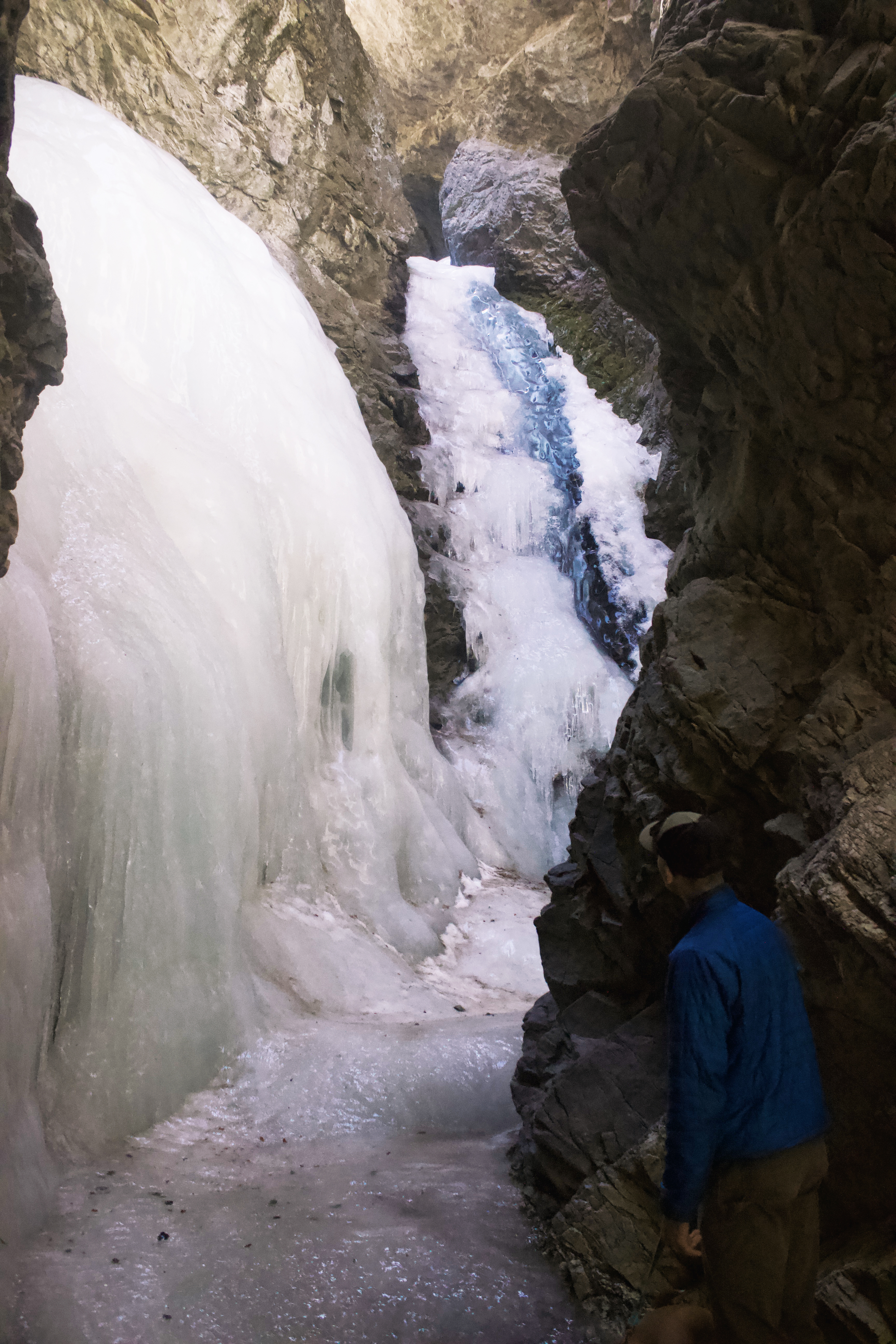

Just 20-30 minutes outside Great Sand Dunes National Park (another Colorado spot worth exploring) is Zapata Falls. The trail is easy and short, taking you to a partially hidden, 25-foot waterfall. In the winter, the falls freeze over, creating a magical icy wonderland.
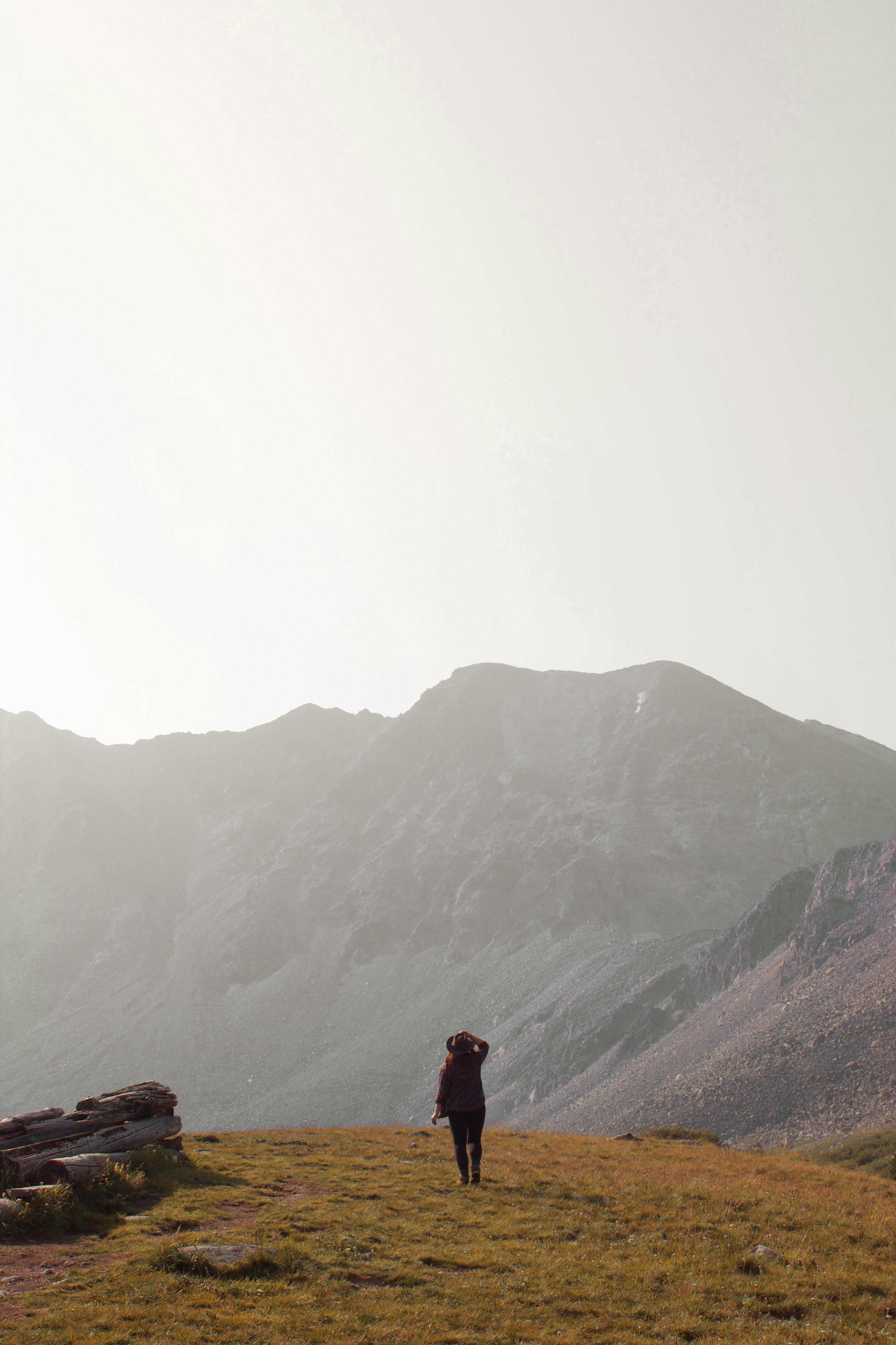
Blue Lakes Trail
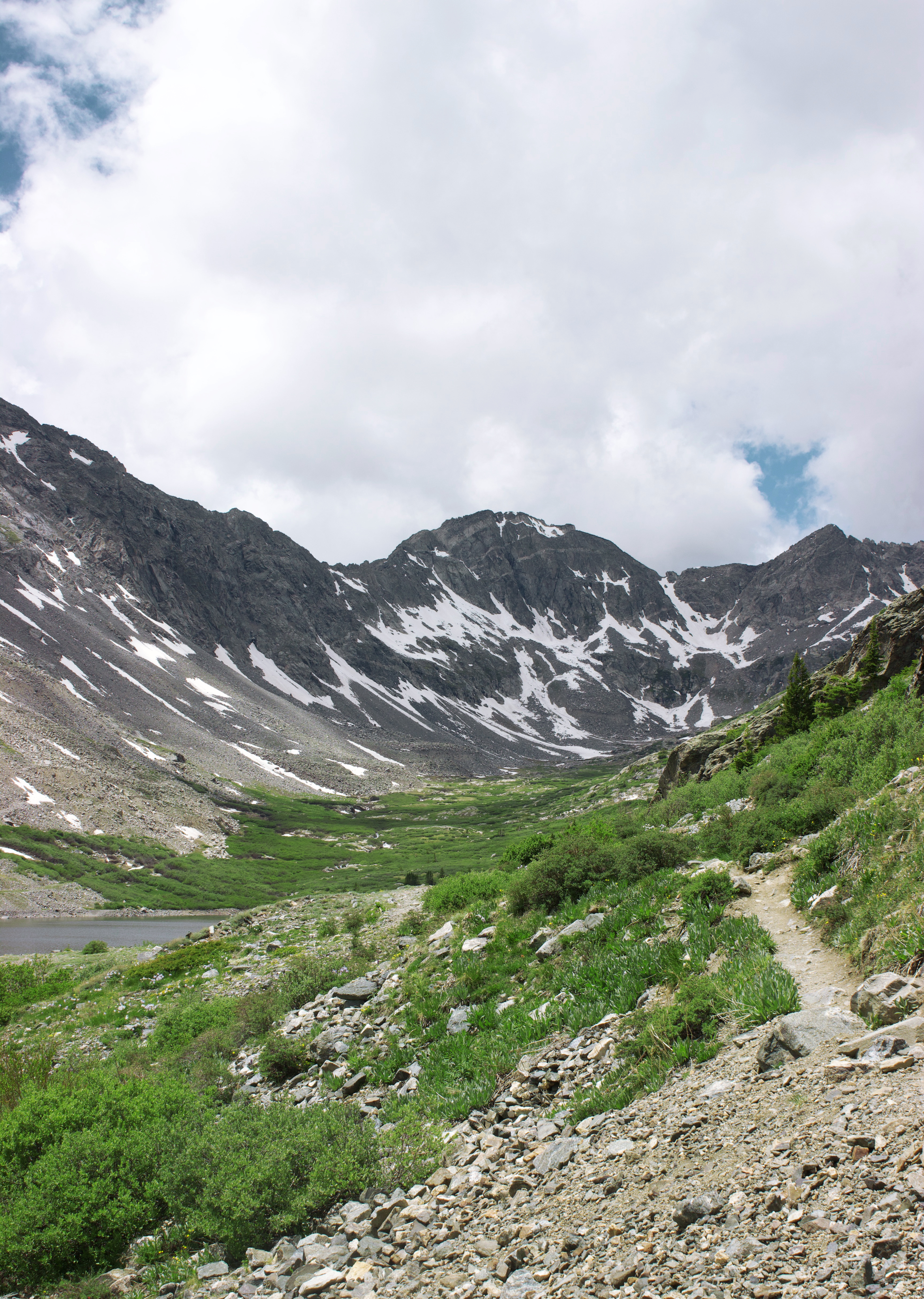


Blue Lakes Trail is an excellent option if you’re short on time or looking for a casual all-ages hike. This stunning outdoor area is located near Breckenridge, making it the ideal afternoon activity.
You’ll be blown way by the scenery, with serene lakes framed by jagged peaks. Watch for mountain goats in the parking lot and on the trail!
Perkins Central Garden Trail

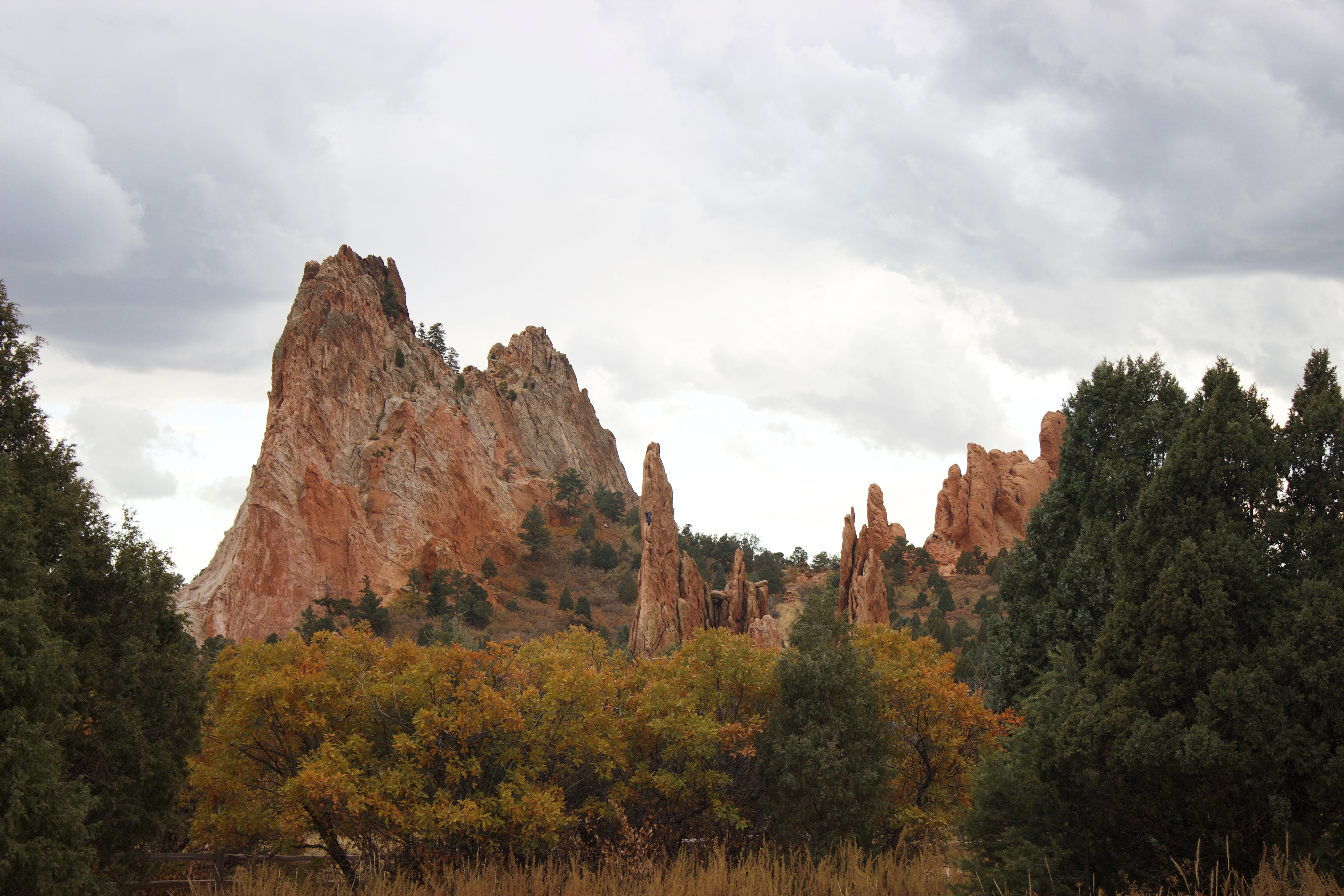
There are tons of hiking options in Garden of the Gods, but you can’t go wrong with the Perkins Central Garden Trail. This paved walking path takes you through picturesque meadows in the heart of the garden’s iconic formations. Garden of the Gods is beautiful any time of year and a must-visit when in Colorado Springs.
Rampart Reservoir via Rainbow Gulch Trail
The Rainbow Gulch Trail is an easygoing hike that takes you to Rampart Reservoir, a popular outdoor spot for fishing and kayaking. Admire the striking landscape blanketed in snow during the winter, or visit in summer to see blooming flowers and watch fishermen casting lines to try their luck at snagging a fish.
Moderate
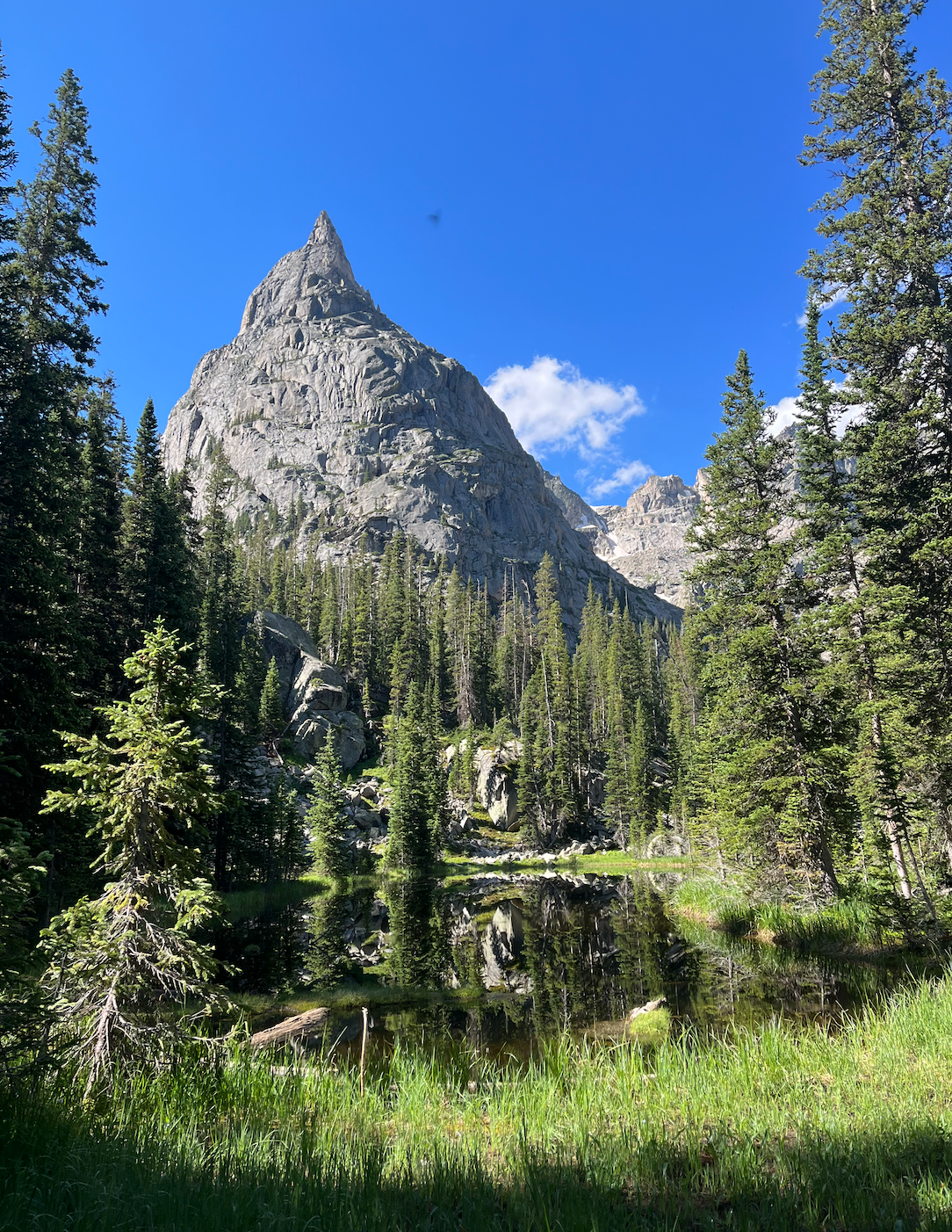
Lake Isabelle via Pawnee Pass Trail

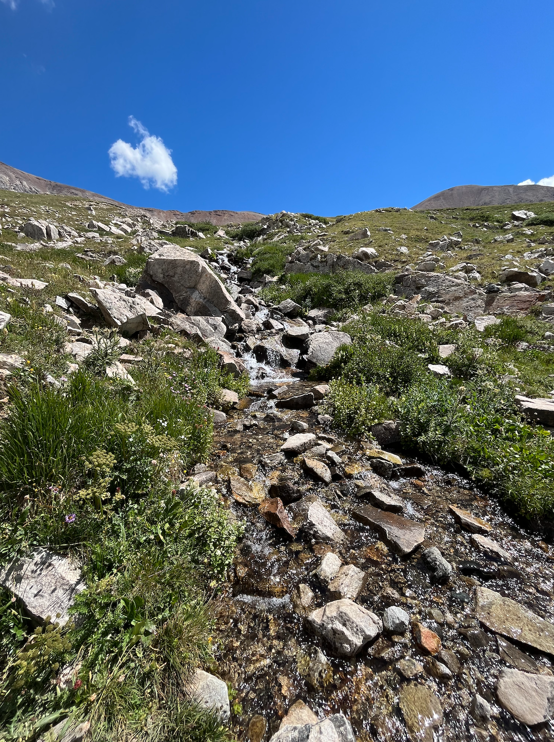
Lake Isabelle is one of my favorite hikes in Indian Peaks Wilderness. It has a little bit of everything, from lakes to wildflower fields, forests, waterfalls, and snow-capped mountains. If you’re lucky, you might see a moose along the way.
The Crags Trail


I highly recommend tackling the Crags Trail in fall to see the golden aspens. There are some steep sections at the beginning and end of the hike, but it’s overall fairly moderate. The aspen groves, rock formations, and sweeping views make this hike 100% worth the effort.
Crater Lake (Maroon Bells)

You’ve probably seen photos of the Maroon Bells even if you didn’t realize it. These iconic peaks are incredibly popular among photographers and nature enthusiasts.
The hike to Crater Lake is less than four miles with a couple hundred feet of elevation gain, making it appropriate for hikers of all experience levels. Seeing Crater Lake with the Maroon Bells in the background is insanely beautiful, and pictures truly don’t do it justice.
Loch Lomond Trail
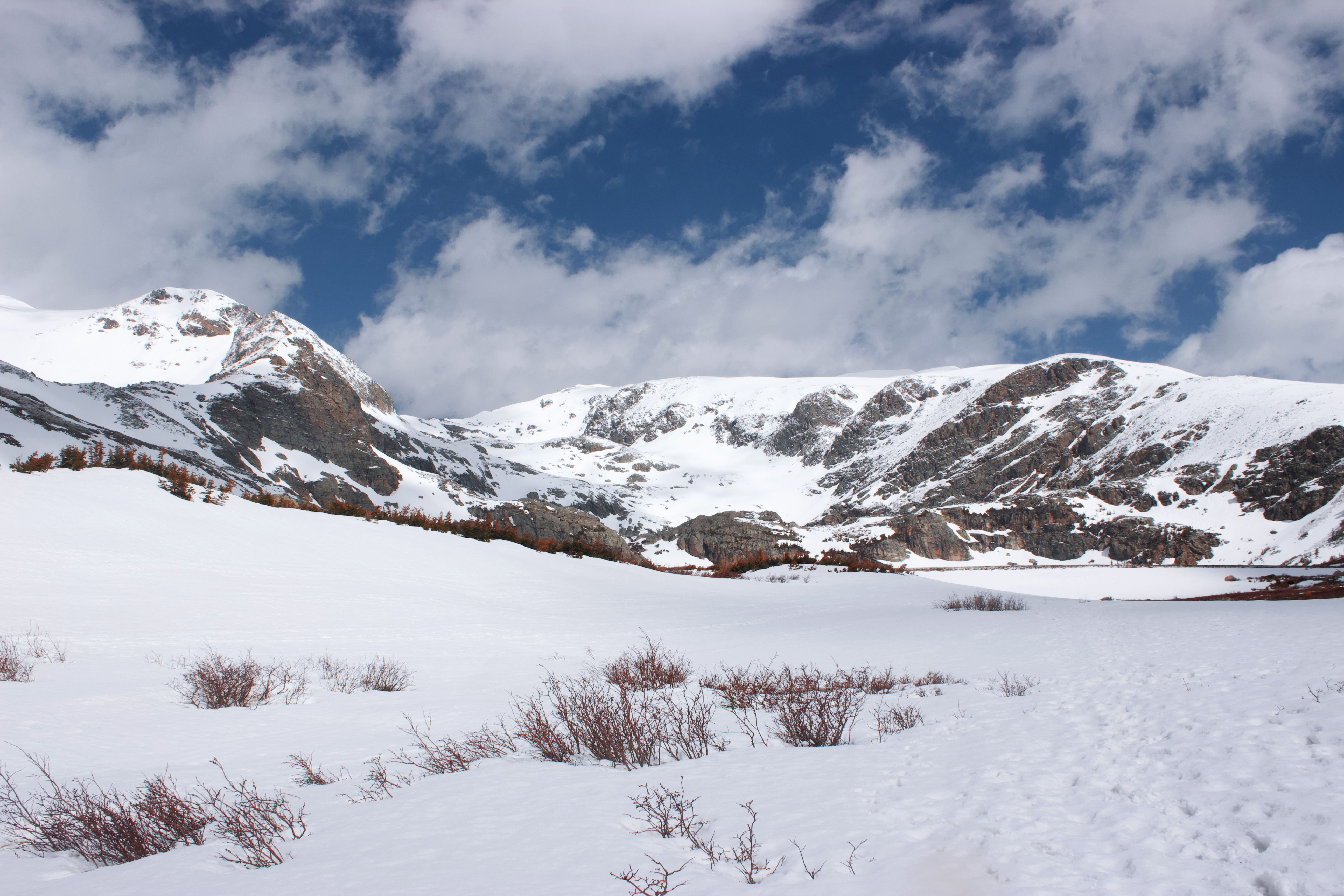
Loch Lomond is a short but somewhat challenging hike near Empire. The trail is technically a 4×4 road you can drive on, but hiking is much more fun (in my opinion). I didn’t get to see the lake in summer while living in Colorado, but it was an unforgettable winter adventure.
Rogers Pass

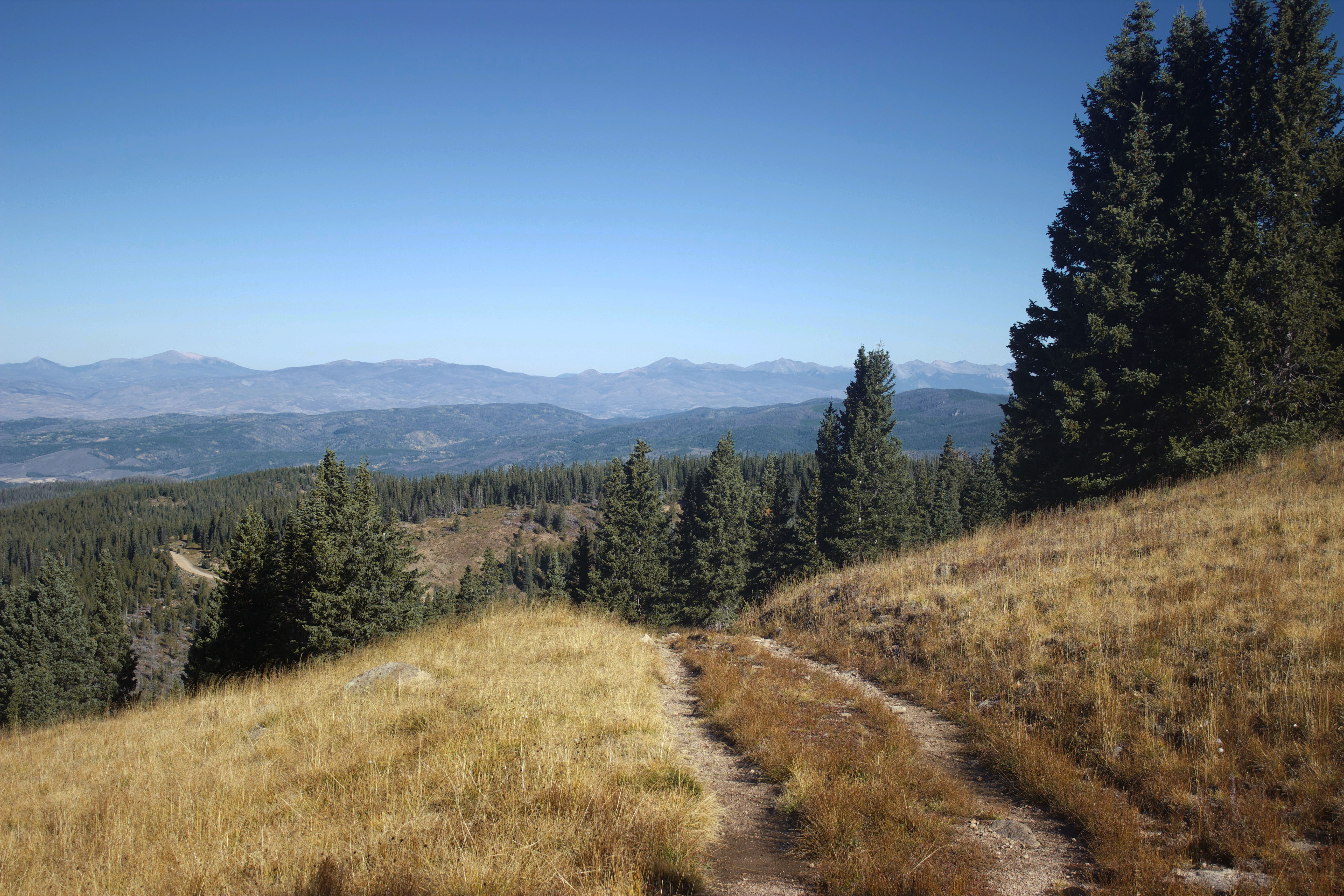


Rogers Pass is far less popular than other hikes in the Winter Park area but is just as beautiful. It provides the perfect amount of challenge for beginners and is a fantastic introduction to the Colorado mountains. From the old train trestle to the aspens and scenic overlooks, there’s a lot to love about this underrated trail.
Diamond Lake Trail

Diamond Lake is another classic Indian Peaks Wilderness trail. The hike gains over 1,000′ of elevation, so it’s definitely a good workout. Diamond Lake itself is picture-perfect, with lots of room to spread out and explore.
Bluebell, Royal Arch, Flatiron, Bluebell-Baird, and Meadow Trail Loop

Get up close and personal to Boulder’s famous Flatirons on the Bluebell, Royal Arch, Flatiron, Bluebell-Baird, and Meadow Trail Loop (try saying that five times fast). Don’t underestimate this under-2.5-mile-long hike—there’s enough elevation gain to make you break a sweat. Along the way, you’ll enjoy beautiful views of the distinctive rock formations, downtown Boulder, and the surrounding mountains.
Dream Lake Trail

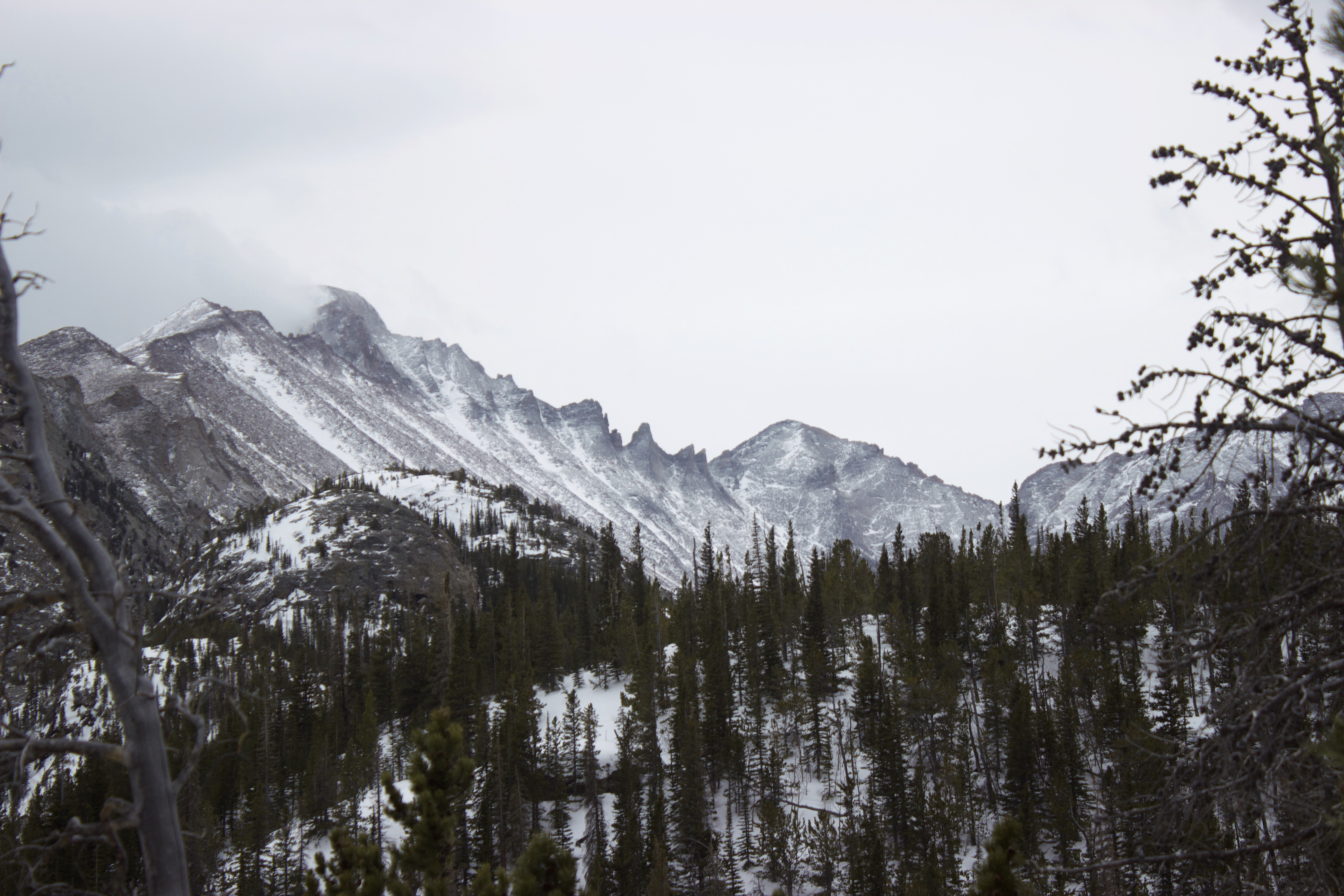
If you only have time for one hike in Rocky Mountains National Park, make it the Dream Lake Trail. This is my go-to when hosting friends and family who want to do some hiking in the park. I’ve only experienced it in winter (which is gorgeous and dramatic), but it’s a great option any time of the year.
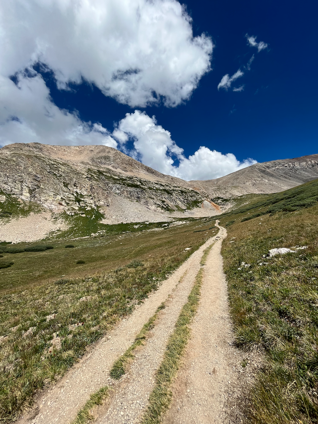
Mayflower Gulch Grand Traverse
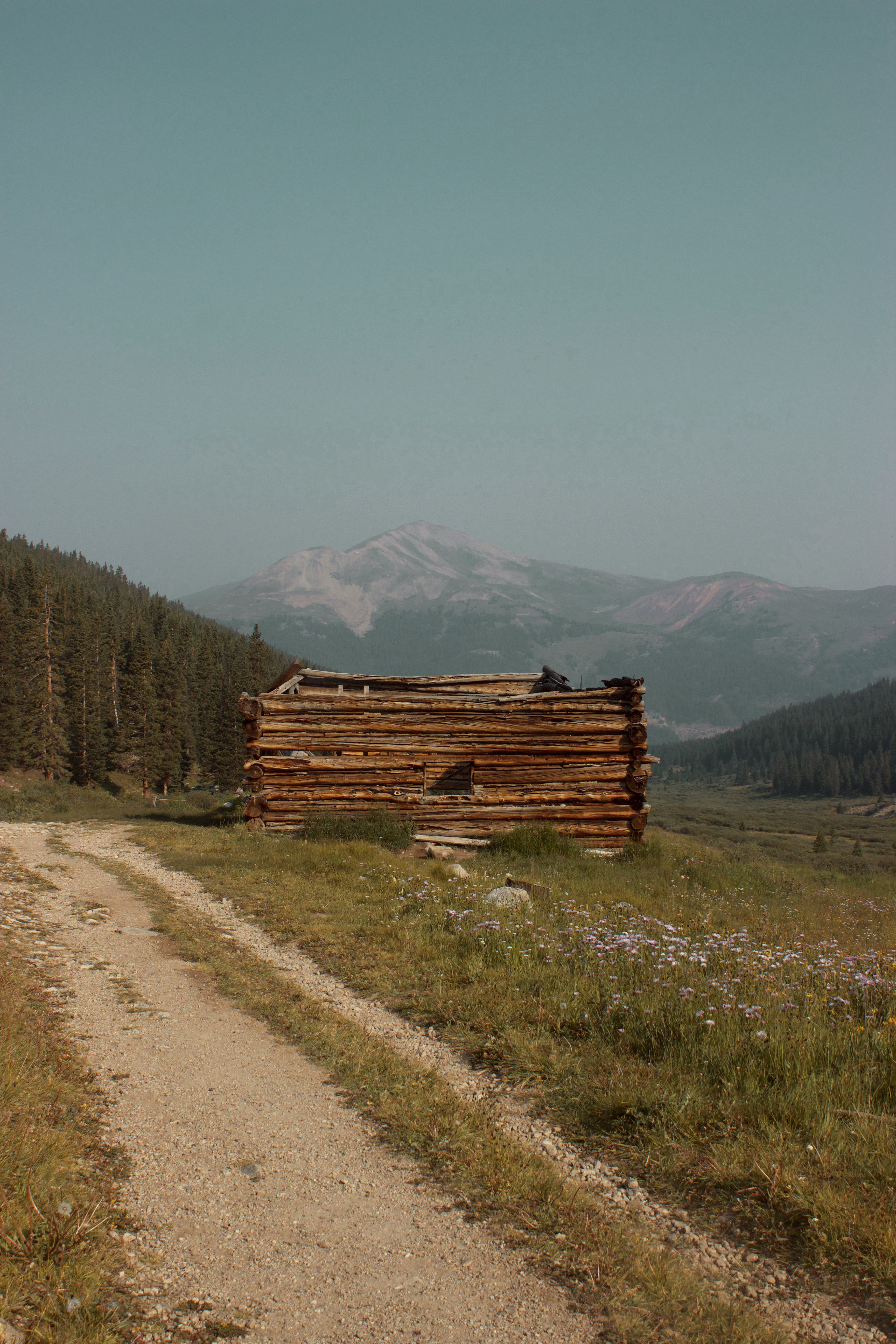
Discover an abandoned mine tucked among the mountains along the Mayflower Gulch Grand Traverse. The trail follows an old wagon road to a historic mining site, and you can add mileage by hiking around what remains of the log cabins and wooden structures. Summer is an excellent time to hike Mayflower Gulch because all the flowers will be in bloom.
Mule Creek Trail

Mule Creek Trail is a must when visiting Woodland Park. It follows the creek along seven miles of forests and canyons, making you feel like a rugged wilderness explorer. This hike is moderately challenging if you tackle the entire route, but you can always shorten it for a less intense adventure.
Devil’s Head Lookout
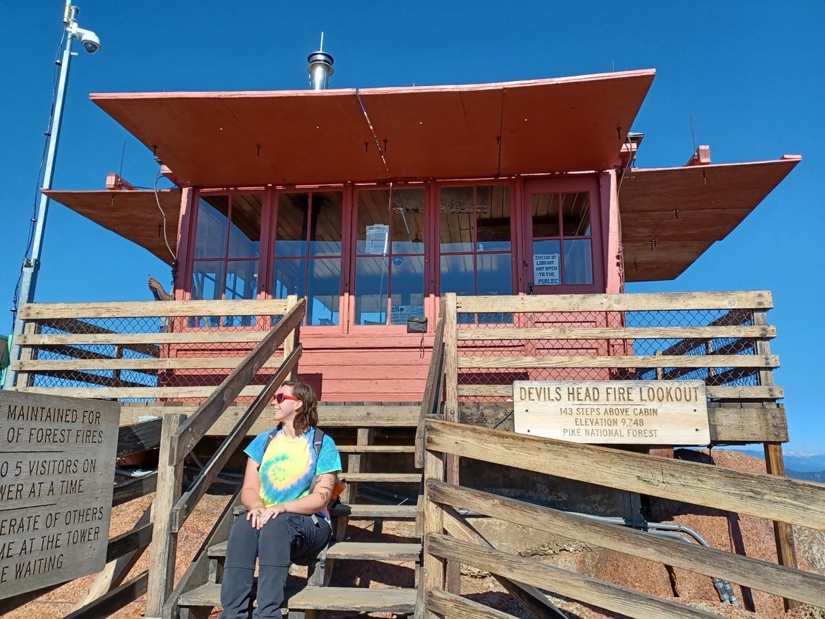
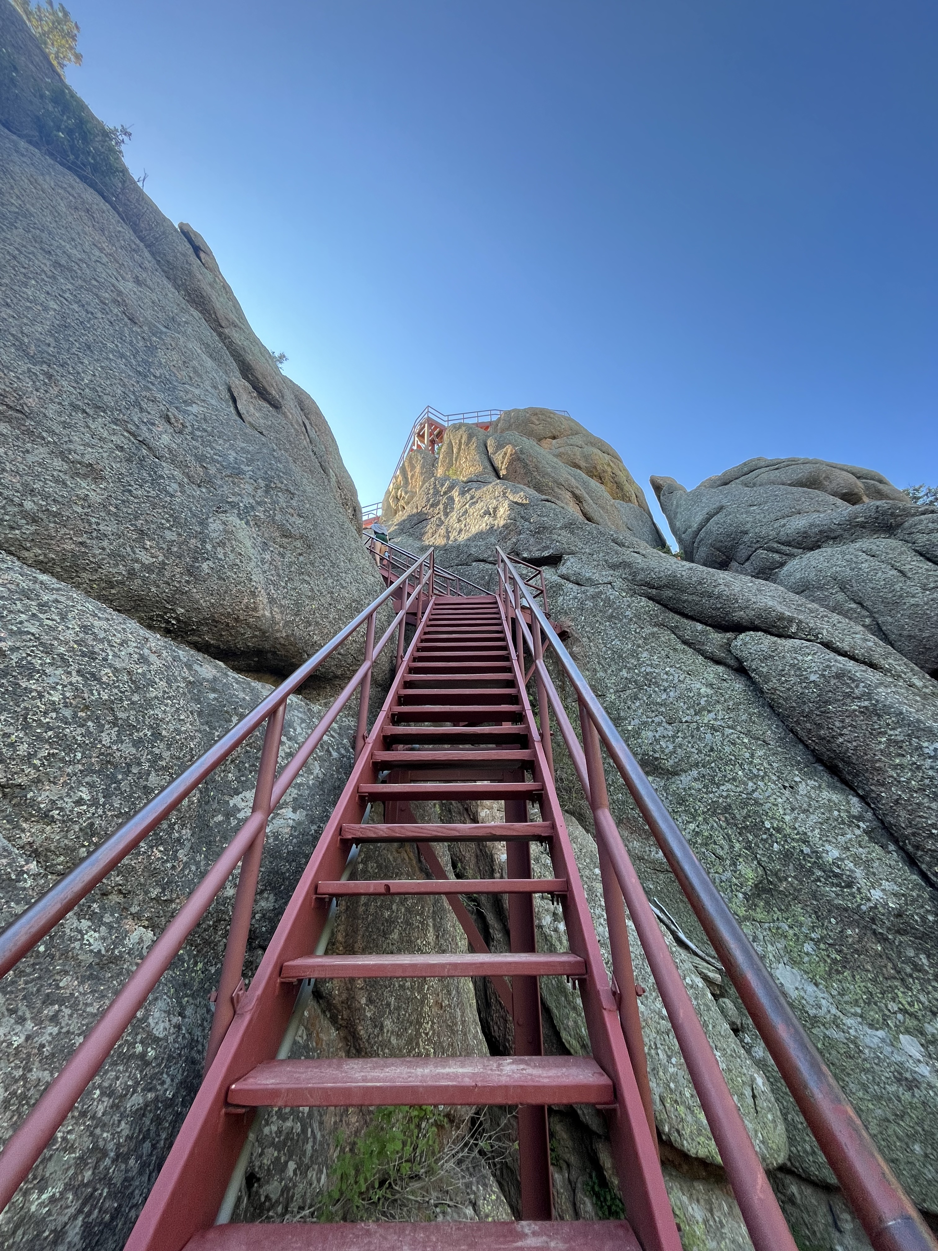
I love every step of the trail to Devil’s Head Lookout, a picturesque fire tower in Pike National Forest. The tower is staffed by forest rangers, and it’s fascinating to see where they work and live while on duty. Devil’s Head Lookout is less than three miles roundtrip but steadily gains elevation, with an intense final push up a set of stairs leading to the tower.
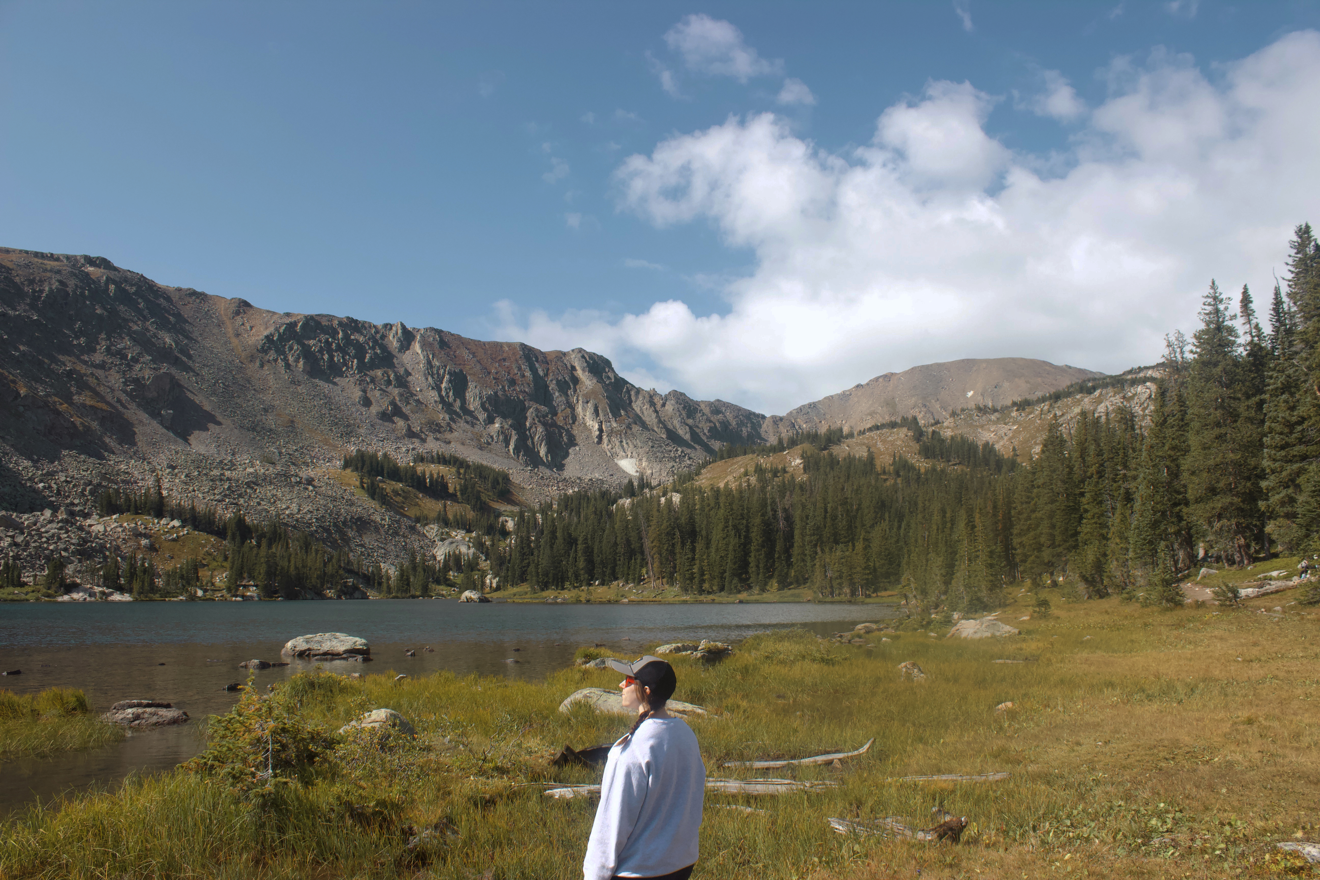
Silver Dollar Lake and Murray Lake Trail

See two stunning alpines lakes along the Silver Dollar and Murray Lake Trail. This was one of the first hikes I ever stepped foot on in Colorado, so it holds a special place in my heart.
You’ll travel through a forest before ascending above the tree-line, eventually arriving at Silver Dollar Lake. Continue up and over a saddleback to see Murray Lake, which is equally beautiful.
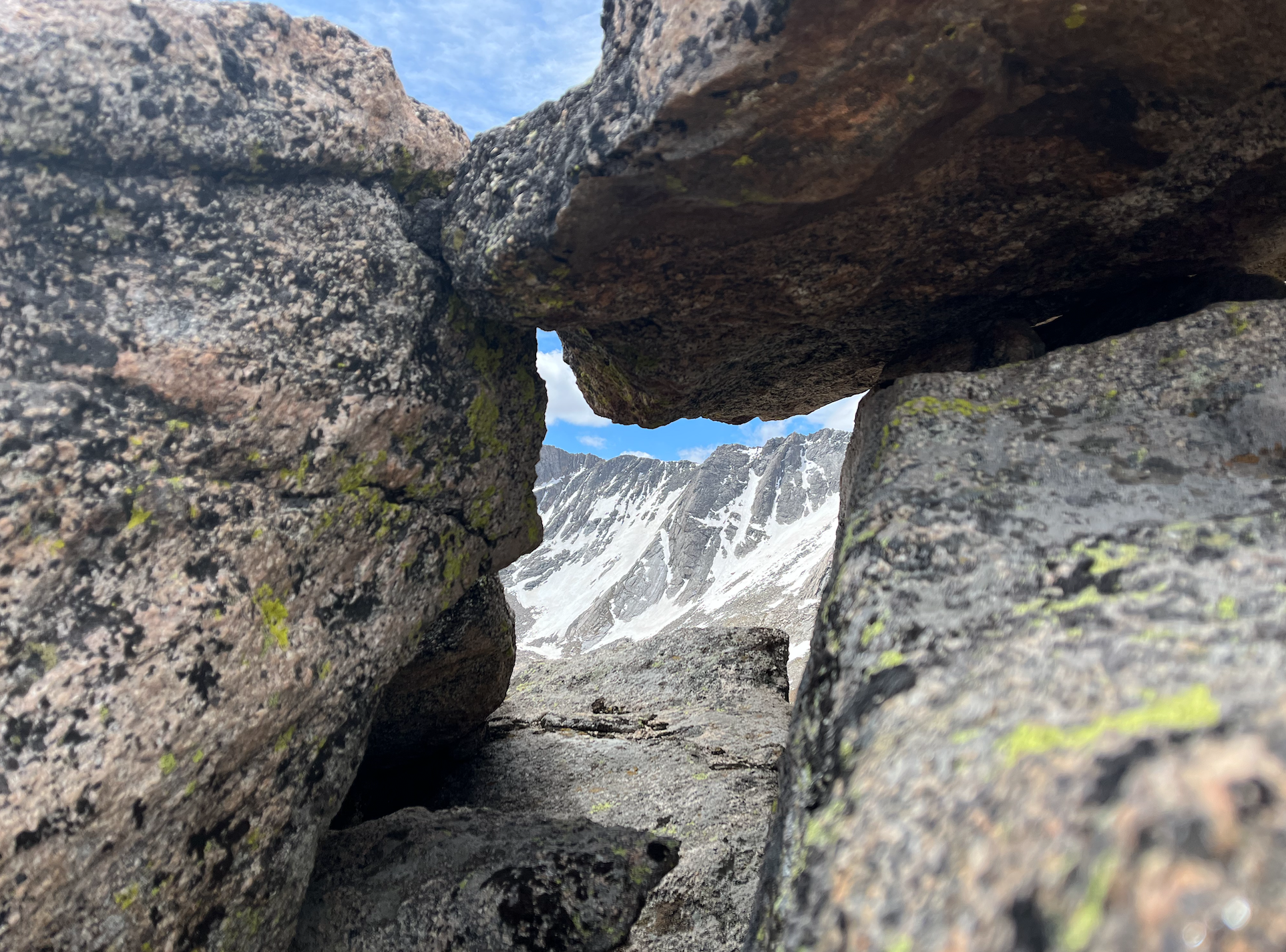
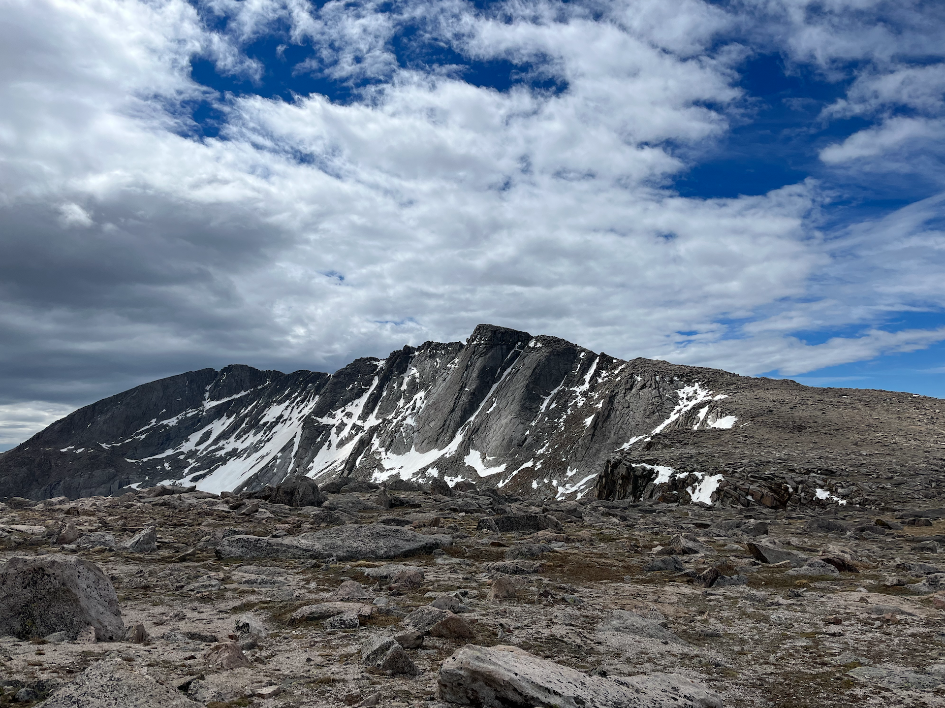
Challenging
Mount Democrat via Kite Lake Trail


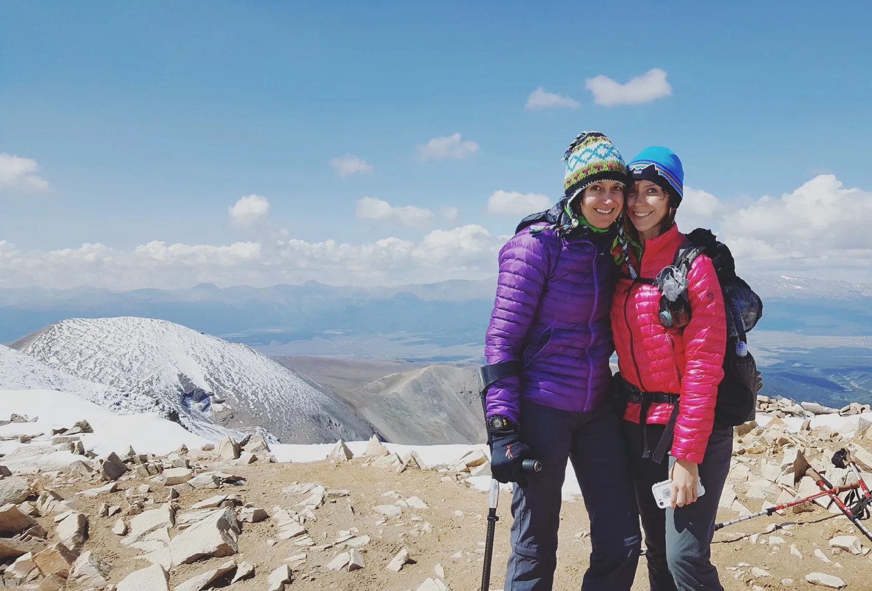
Mount Democrat is one of four 14ers that make up the DeCaLiBron, an intense loop that summits multiple peaks in one strenuous hike. While Mount Democrat is relatively moderate compared to other Colorado 14ers, it isn’t easy by any stretch of the imagination. Regardless if you do the entire DeCaLiBron or turn back after the summit of Democrat, you’re in for a stunning high-altitude adventure.
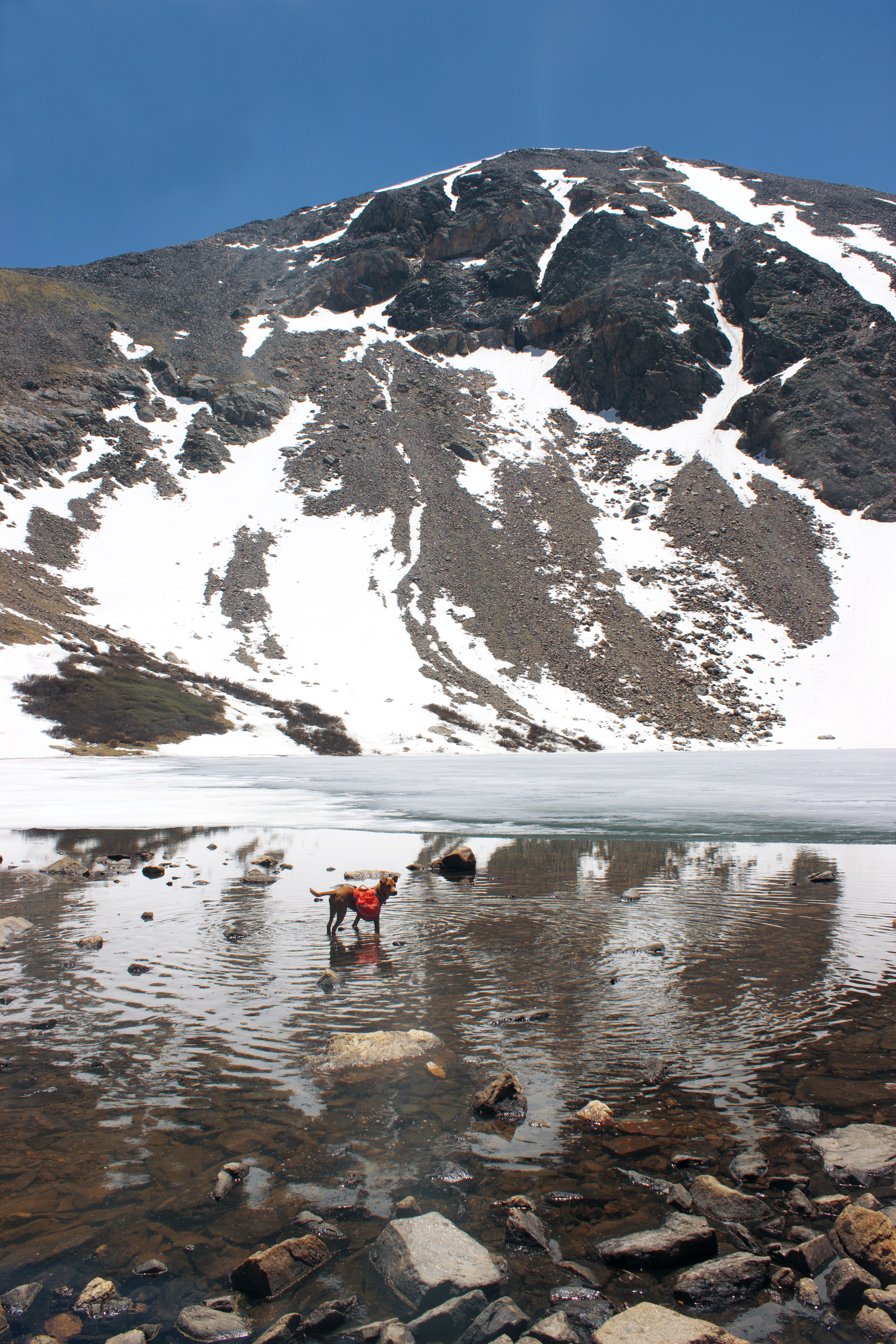
Crater Lake and Lone Eagle from Long Lake Trailhead (Indian Peaks Wilderness)

The trail to Crater Lake and Lone Eagle in Indian Peaks Wilderness might be my all-time favorite Colorado hike. It’s around 15 miles to Crater Lake and Lone Eagle from the Monarch Lake Trailhead, so many camp overnight to tackle it over two days.
My husband, dog, and I hiked the entire route in one day, which was very challenging and exhausting. However, the views of Mirror and Crater Lakes and Lone Eagle Peak were absolutely breathtaking and made every step feel worthwhile.
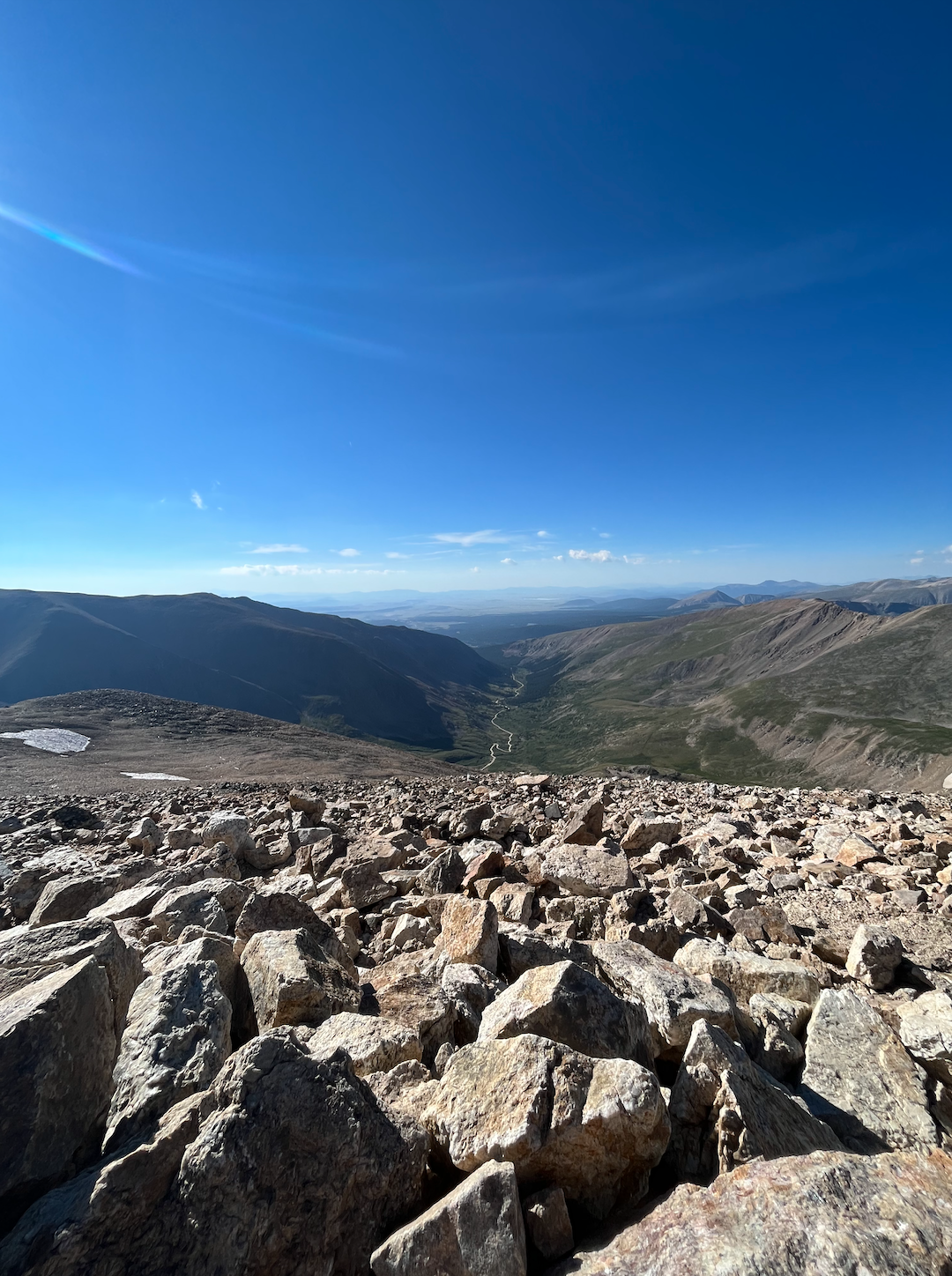
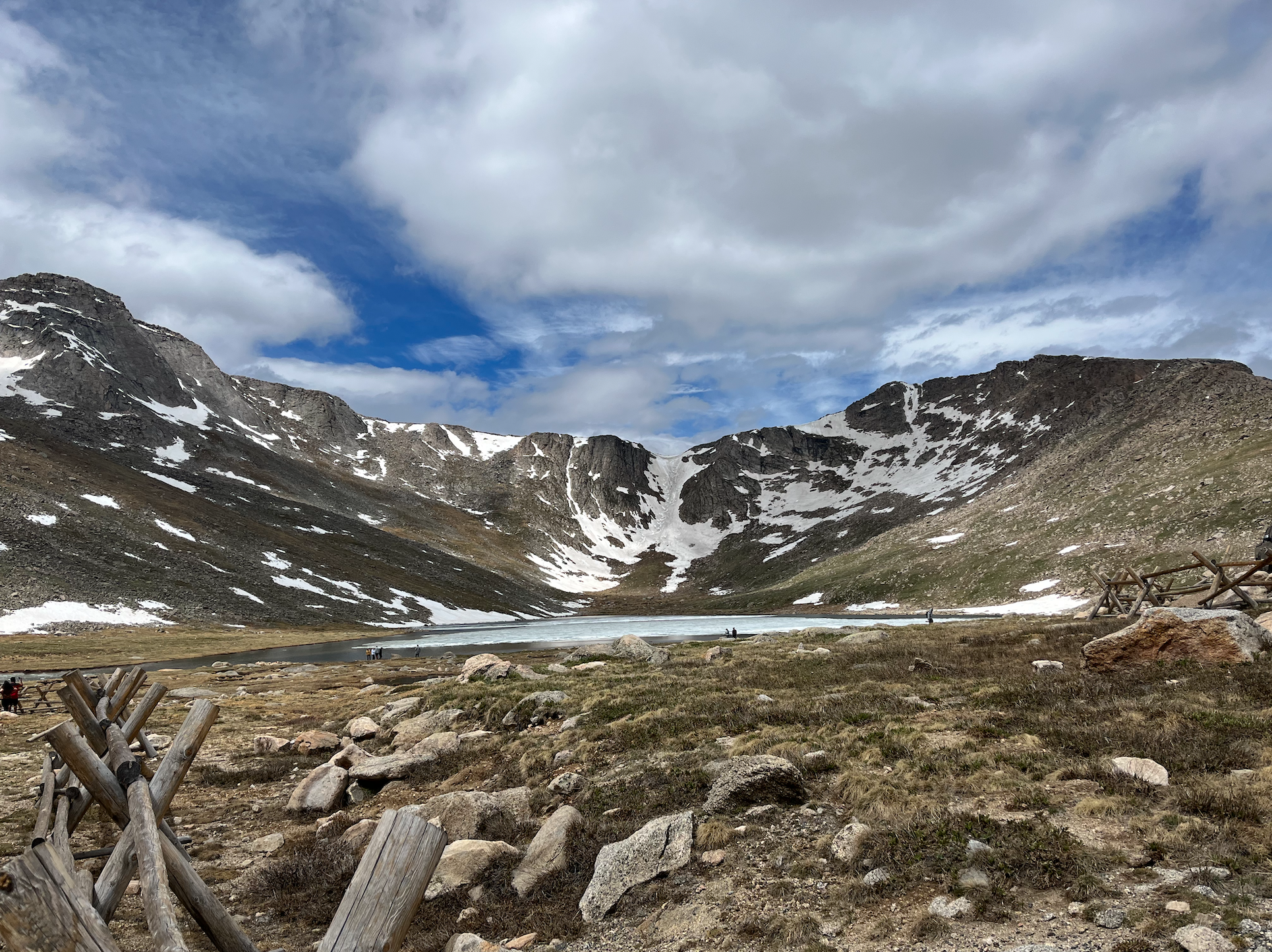
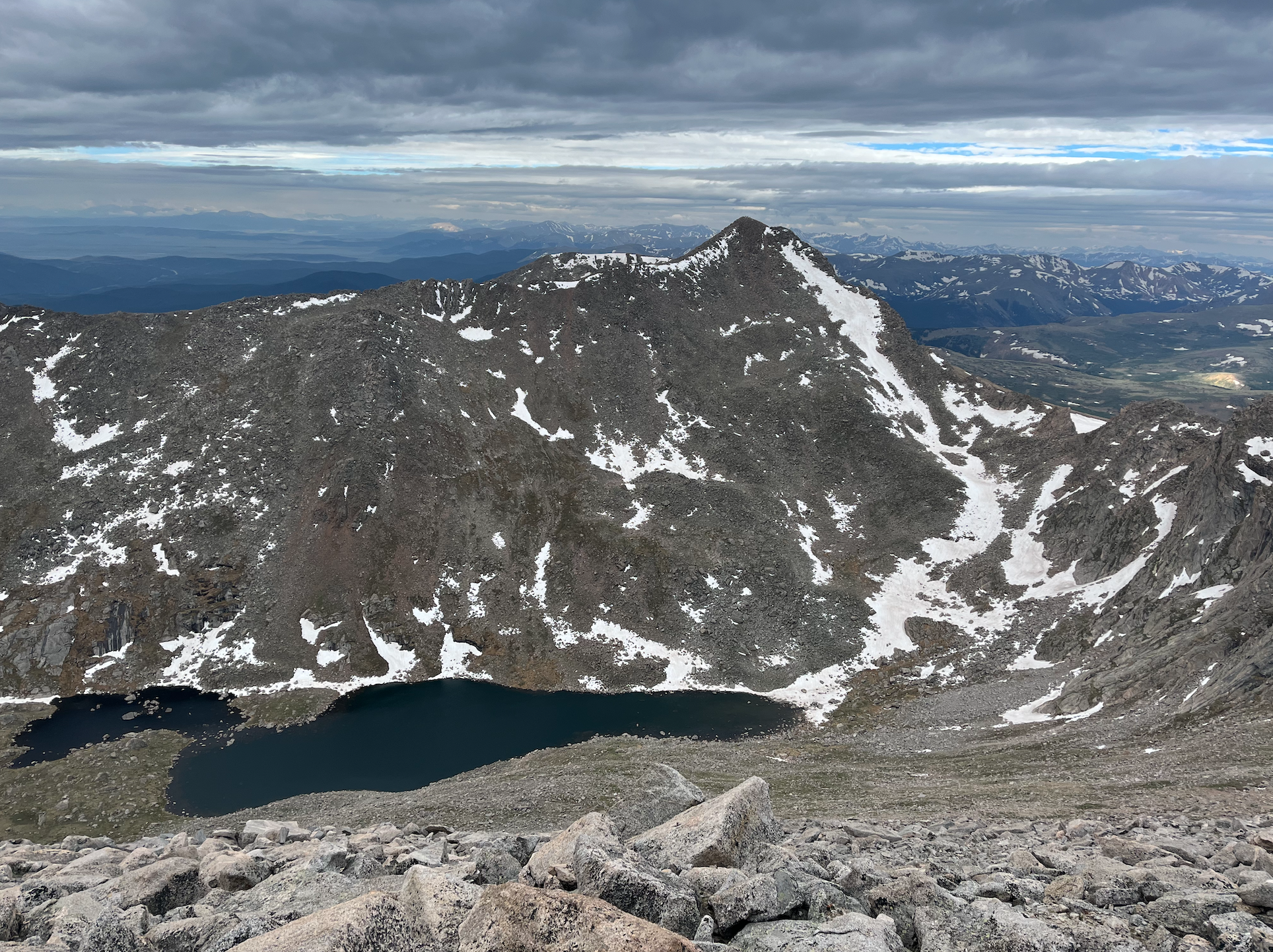
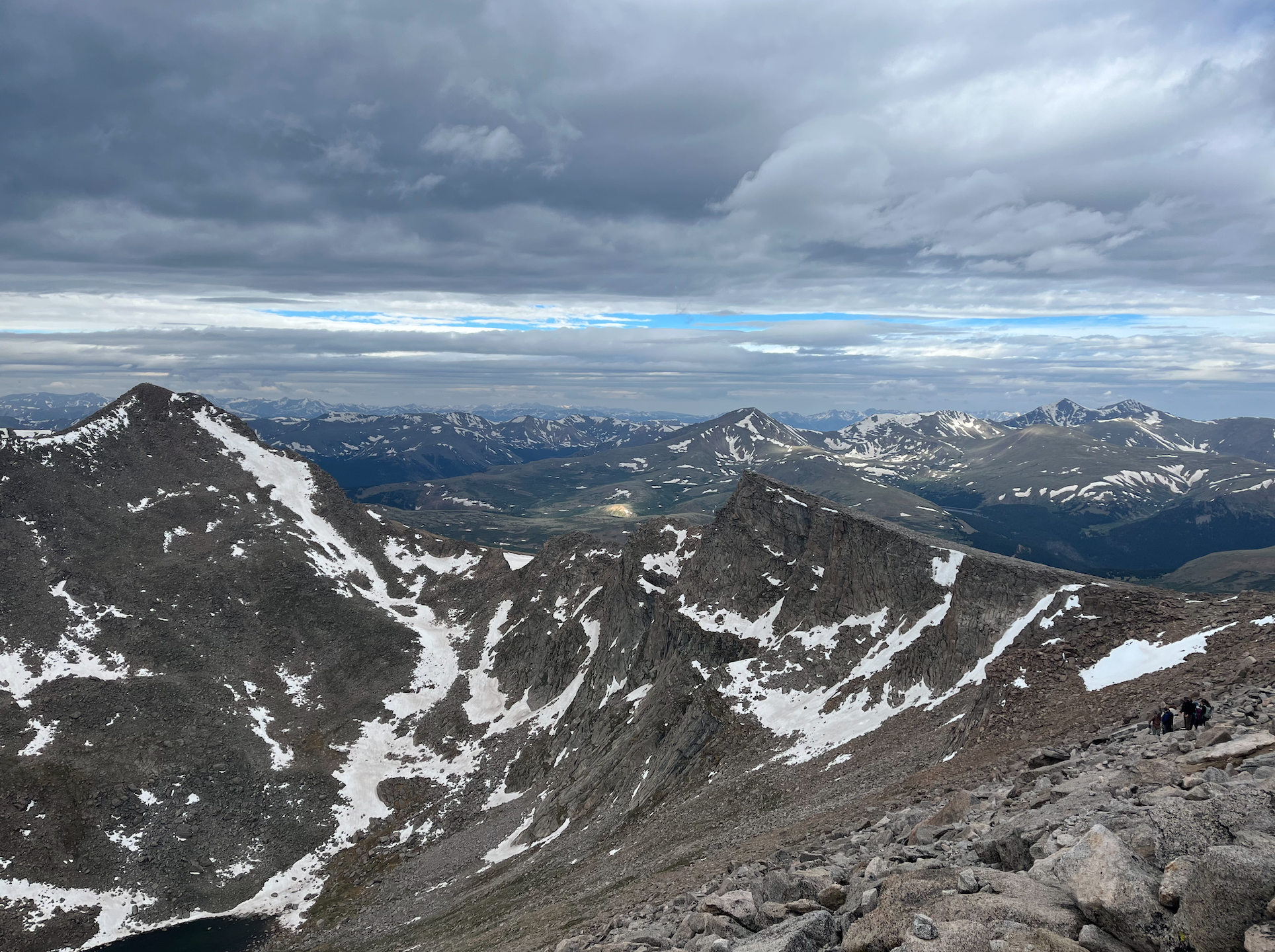
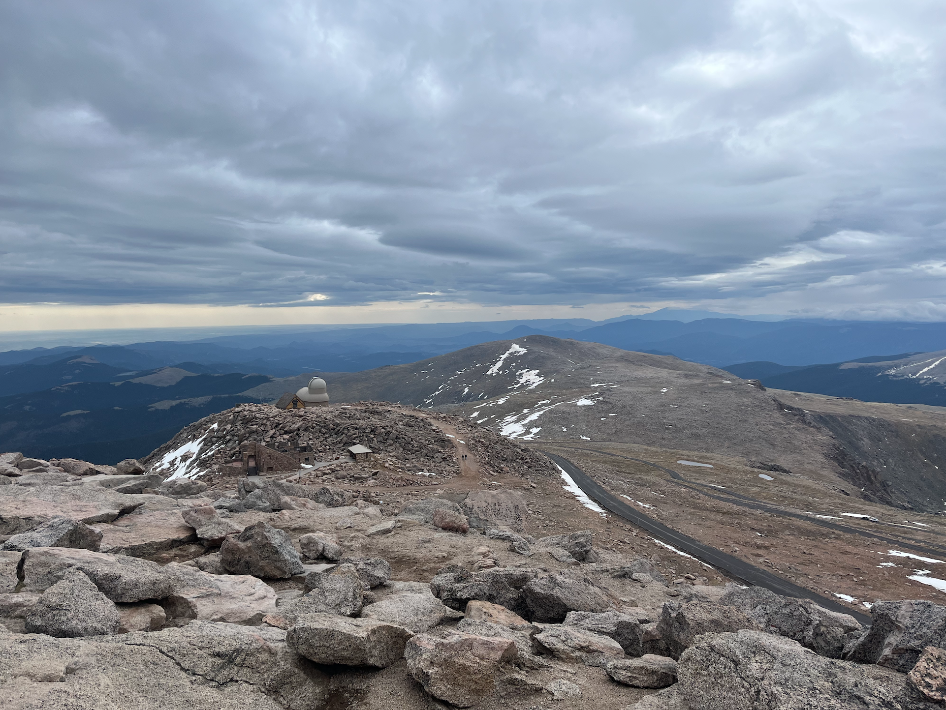
Mount Blue Sky (formerly Mount Evans) via Summit Lake
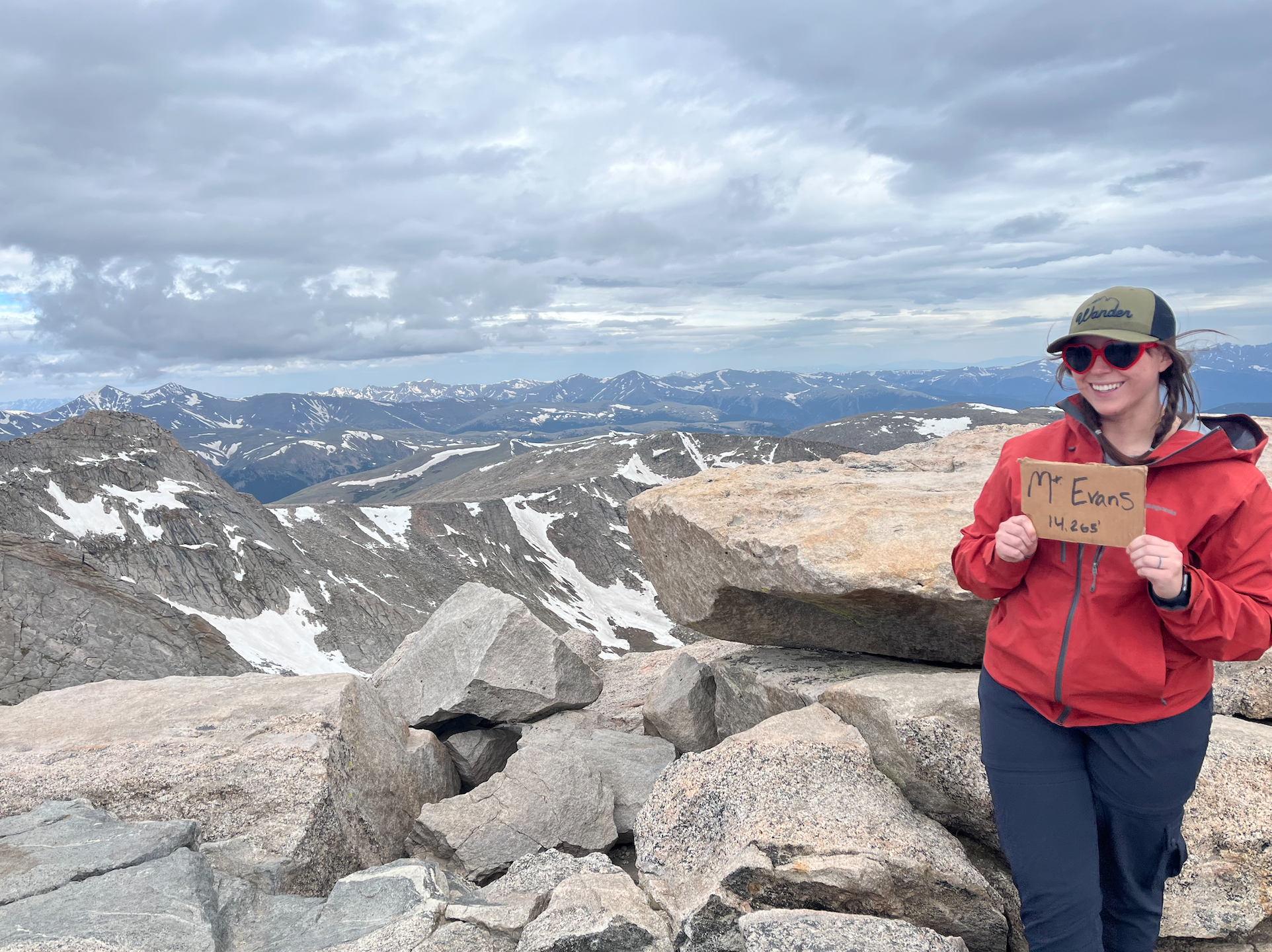
Mount Blue Sky is a popular pick among hikers eager to summit their first Colorado 14er because it’s an easily accessible and fairly short trail. It gains around 2,000′ of elevation over 5.5 miles, which is pretty doable if you’re up for the challenge.
Some portions of the hike are steep, but I found the rocks leading up the final stretch to the summit to be the hardest part. You have to watch where you’re walking and step carefully to avoid going off trail or slipping.
Mount Bierstadt Trail

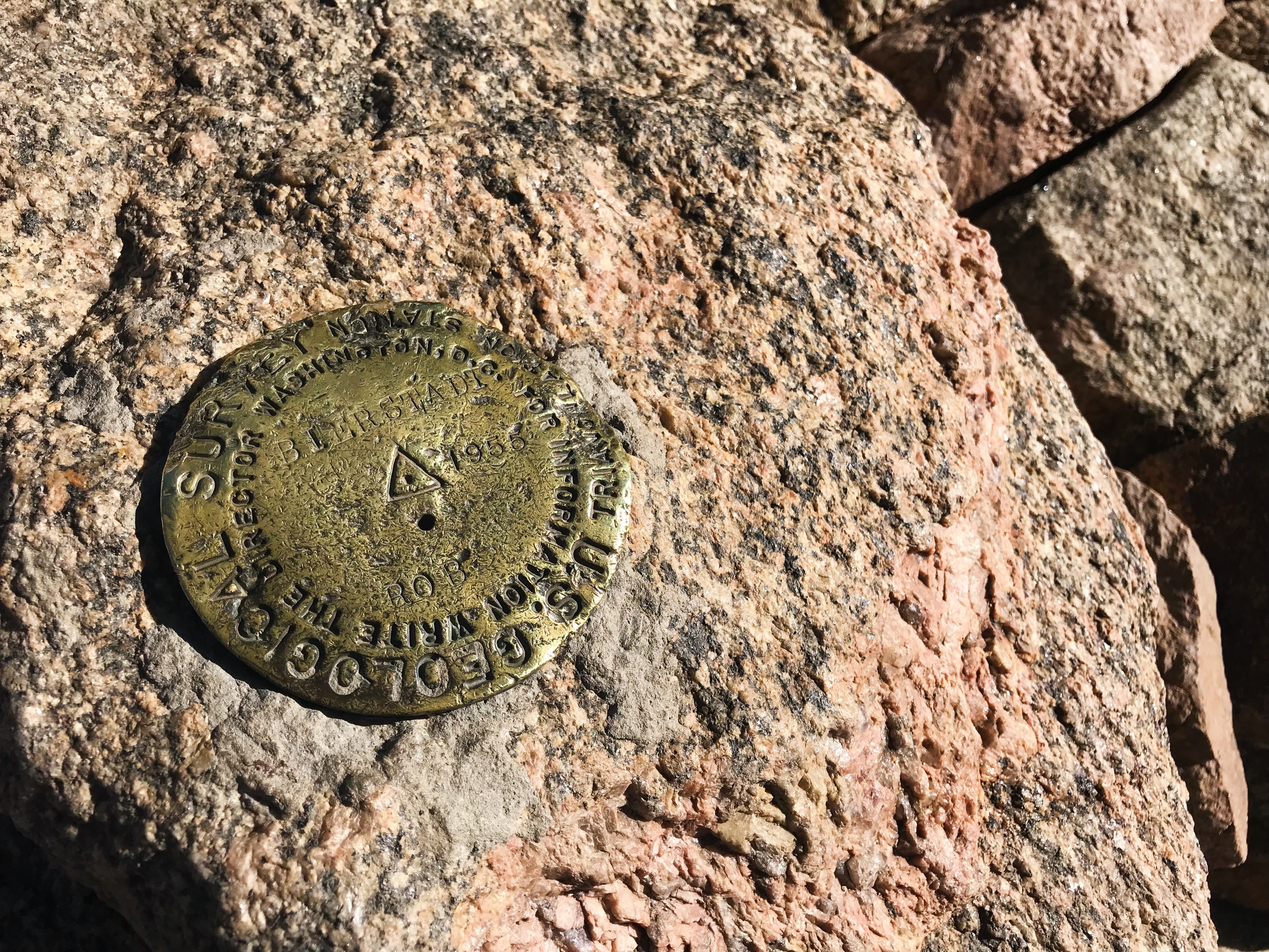
Mount Bierstadt is the first 14er I ever attempted in Colorado. Spoiler alert: I didn’t successfully summit it the first time due to weather. Thankfully, I got to return a few years later and finish the hike with my husband!
This peak is another top choice for those interested in hiking their first 14er, as you’ll gradually ascend Mount Bierstadt over roughly seven miles. Mountain goats and moose are frequently spotted along the trail, adding to its appeal.
Barr Trail

Summiting Pikes Peak via the Barr Trail is one of the most difficult hikes I’ve tackled in my lifetime. The route is over 12 miles one-way and almost entirely uphill, gaining around 7,300′ of elevation. It’s an incredibly intense yet fulfilling experience, giving you a new appreciation for America’s Mountain.
Mount Sherman Trail via Four Mile Creek Road

Last but certainly not least is the Mount Sherman Trail via Four Mile Creek Road—my first successful 14er! The roughly 5-mile route winds through some abandoned mining structures before turning into a rocky stretch of terrain leading to the summit. Mount Sherman isn’t for the faint of heart, but it’s pretty straightforward and less technical than many other 14ers throughout Colorado.
What are your favorite hikes in Colorado? I’m already missing this beautiful state and will definitely return for more hiking adventures in the future!